Single Russian jet-powered Shahed (Geran-3) drone reported heading toward Vidradnyi, Kyiv
What happened
Ukrainian air monitoring reported one Russian jet-powered Shahed-type drone, identified as a Geran-3, heading toward Vidradnyi in the Kyiv area at about 02:34 UTC on 21 October 2026. The original Ukrainian post was brief, reading roughly 'Kyiv: jet-powered UAV toward Vidradnyi,' and gave no information on impact, interception or damage. The report was published by a single Telegram channel, @kpszsu, and no other outlet has been identified as carrying the same track. The event is categorised as a drone transit, meaning a reported aerial track rather than a confirmed strike.
Context and assessment
Vidradnyi sits in the Kyiv area, where Ukrainian air defence and government facilities are concentrated, so even single-drone tracks there attract attention. The event fits a clear pattern. The previous day, 20 October, monitoring channels logged at least five separate single-drone reports over Kyiv districts, including Shuliavka, Borshchahivka and Zhuliany, with one report noting tracks over the Minsk Massif. Each was described as a jet-powered Geran-3. Repeated single-drone tracks across several districts over a short period may indicate reconnaissance, probing of air defence response times, or drones dispersed along different approach routes rather than a single concentrated salvo. Such a pattern is consistent with several operational aims, but the reports alone cannot show which one applies. Continuity with the previous day's tracks suggests the Vidradnyi report belongs to a broader sustained activity around the capital rather than an isolated launch.
Sources and confidence
The event rests on one Telegram channel, which has not been cross-confirmed by independent monitors, Ukrainian official statements or impact reporting in the data provided. The confidence score of 8.0 reflects the channel's role in publishing air-monitoring alerts and the specificity of the track description, but the single-source basis and the lack of corroborating tracks keep it below the top of the scale. Confidence would rise if Ukrainian air force statements, other monitoring accounts or local authorities confirmed the same track, or if a subsequent interception or impact was reported. It would fall if the channel corrected or withdrew the alert, or if no other reports from the area matched the timing.
Location
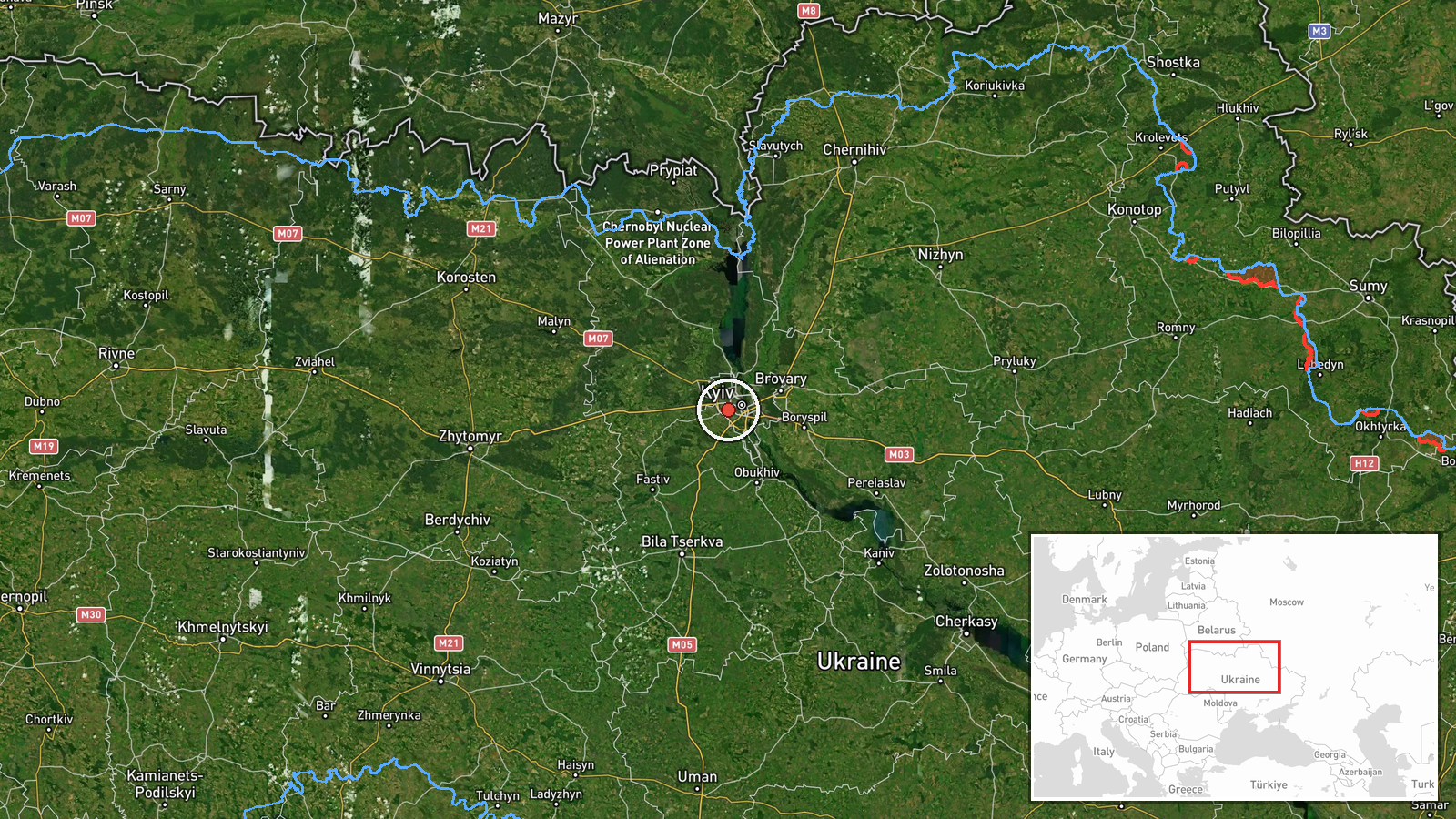
The location is set at settlement level, with coordinates of 50.43 N, 30.43 E pointing to the Vidradnyi area, and the location confidence is rated high. The point represents the settlement rather than a specific facility, since the source named only the village. Vidradnyi lies in the Kyiv region north-western to the capital, within the wider metropolitan area's flat, low-lying terrain, which is characterised by reservoirs and forest belts. The Dnipro basin lies to the east, and the capital's built-up districts are close by.
Related events nearby
- Ukrainian air monitoring reports Russian jet-powered Shahed (Geran-3) drones tracked over Shuliavka and the Mi2026-10-20 12:08 UTC · Drone Transit · Shuliavka, Kyiv, Ukraine
- Ukrainian air monitoring: 1 Russian jet-powered Shahed (Geran-3) drone heading toward Shuliavka, Kyiv.2026-10-21 03:07 UTC · Drone Transit · Shuliavka, Kyiv, Ukraine
- Ukrainian air monitoring: 1 Russian jet-powered Shahed (Geran-3) drone heading toward Shuliavka, Kyiv.2026-10-20 10:20 UTC · Drone Transit · Shuliavka, Kyiv, Ukraine
- Ukrainian air monitoring: 1 Russian jet-powered Shahed (Geran-3) drone heading toward Borshchahivka, Kyiv.2026-10-20 11:04 UTC · Drone Transit · Borshchahivka, Kyiv, Ukraine
- Ukrainian air monitoring: 1 Russian jet-powered Shahed (Geran-3) drone heading toward Zhuliany, Kyiv.2026-10-20 12:41 UTC · Drone Transit · Zhuliany, Kyiv, Ukraine
▶ View this event on the live map

Intel Mapper aggregates open-source reports from monitored Telegram and X channels, geolocates them, cross-checks duplicates across sources and assigns a confidence score. Entries are updated as new confirmations arrive. Read how we verify events.