Single Russian jet-powered Shahed (Geran-3) drone reported heading toward Vynohradar, Kyiv
What happened
Ukrainian air-threat monitoring, relayed through the Telegram channel @kpszsu, reported on 21 October 2026 at 05:07 UTC that one Russian jet-powered Shahed, identified as a Geran-3, was heading toward Vynohradar in the Kyiv area. The original Ukrainian post is terse, reading in translation roughly 'Kyiv: jet-type UAV toward Vynohradar,' and gives no impact, altitude, or interception details. The report is a transit alert rather than a confirmed strike, and the coordinates correspond to the settlement rather than any specific site.
Context and assessment
Vynohradar is a settlement on the Kyiv metropolitan fringe, and the alert forms part of a dense series of single-drone transit reports over the same general area. Between 20 and 21 October, related entries describe Geran-3 tracks over Shuliavka and the Minsk Massif at 12:08 on 20 October, toward Pochaina at 12:42, toward Vynohradar at 14:26, and again toward Shuliavka at 03:07 on 21 October, with an earlier Shuliavka alert at 10:20. Repeated single-airframe tracks across neighbouring localities over roughly nineteen hours suggest either sustained reconnaissance of air-defence coverage and approach corridors or deliberate probing of how quickly alerts propagate across the Kyiv region. Because jet-powered Shaheds are faster and harder to intercept than older propeller variants, each track may also be intended to stress interceptor and warning systems. These inferences remain hedged, since the feed does not state intent, and most such tracks end without reported damage.
Sources and confidence
The event rests on one Telegram channel, so cross-confirmation is absent at the time of publication. The channel is a known Ukrainian air-threat monitoring outlet, which supports its basic plausibility, and the related entries from the same feed show a consistent pattern. The confidence score of 8.0 reflects a credible official-style source with high location confidence, but it is held below the maximum because no second channel, radar report, or Air Force statement has been logged. Confidence would rise with independent confirmation from another monitoring source or an official air-alert record, and would fall if the track were revised, withdrawn, or attributed to a different airframe type.
Location
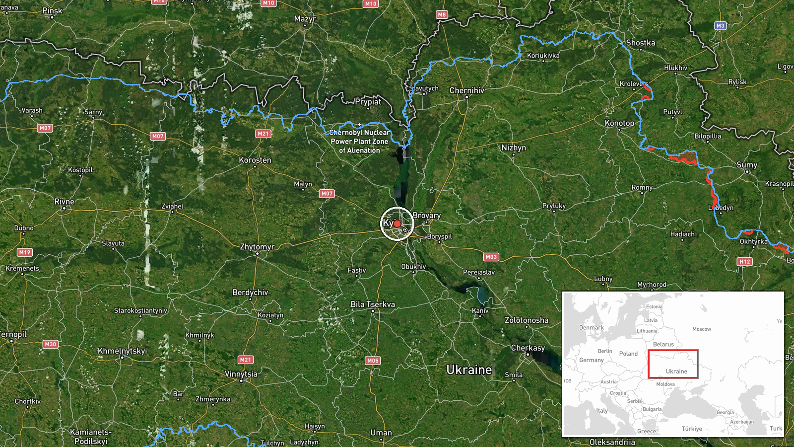
The location is recorded at settlement level, using the coordinates 50.5 N, 30.42 E for Vynohradar in the Kyiv area, and the location confidence is rated high. It is not tied to a facility, so the point marks the community rather than a specific installation. The setting is the outer belt of the Kyiv metropolitan area, a mix of residential districts, open ground, and wooded tracts within the broader Dnipro River basin. The nearby related locations of Shuliavka, Pochaina, and the Minsk Massif lie in the same general sector west and north-west of central Kyiv.
Related events nearby
- Ukrainian air monitoring: 1 Russian jet-powered Shahed (Geran-3) drone heading toward Vynohradar, Kyiv.2026-10-20 14:26 UTC · Drone Transit · Vynohradar, Kyiv, Ukraine
- Ukrainian air monitoring reports Russian jet-powered Shahed (Geran-3) drones tracked over Shuliavka and the Mi2026-10-20 12:08 UTC · Drone Transit · Shuliavka, Kyiv, Ukraine
- Ukrainian air monitoring: 1 Russian jet-powered Shahed (Geran-3) drone heading toward Shuliavka, Kyiv.2026-10-21 03:07 UTC · Drone Transit · Shuliavka, Kyiv, Ukraine
- Ukrainian air monitoring: 1 Russian jet-powered Shahed (Geran-3) drone heading toward Shuliavka, Kyiv.2026-10-20 10:20 UTC · Drone Transit · Shuliavka, Kyiv, Ukraine
- Ukrainian air monitoring: 1 Russian jet-powered Shahed (Geran-3) drone heading toward Pochaina, Kyiv.2026-10-20 12:42 UTC · Drone Transit · Pochaina, Kyiv, Ukraine
▶ View this event on the live map

Intel Mapper aggregates open-source reports from monitored Telegram and X channels, geolocates them, cross-checks duplicates across sources and assigns a confidence score. Entries are updated as new confirmations arrive. Read how we verify events.