Ukrainian air monitors report a jet-powered Shahed drone heading toward Teremky, Kyiv
What happened
Ukraine's Air Force monitoring channel, reported on Telegram as @kpszsu, stated that one Russian jet-powered Shahed, designated Geran-3, was heading toward Teremky, a residential district in northwestern Kyiv. The report is timestamped 05:19 UTC on 21 October 2026. The original Ukrainian-language post, rendered in English, reads roughly as 'Kyiv: jet-powered UAV toward Teremky.' The report gives the aircraft type and direction of travel but no time of arrival, altitude, or outcome. It records no damage, casualties, or interception. The entry is classified as a drone transit, meaning a warning about an aircraft in flight rather than a confirmed strike. Attribution to Russia rests on the report's own identification of the Geran-3 design.
Context and assessment
The Geran-3 is the jet-powered variant of the Shahed family of one-way attack drones, which Russia has used in large numbers against Ukrainian cities since 2022. Jet propulsion allows higher speed than the piston-engine Geran-2, which can shorten the time air defenses have to respond and makes low-speed gun systems less effective. This entry is one of five transit reports on 20 October 2026 that name Teremky or the nearby district of Zhuliany, with Teremky appearing at 10:55 and 13:38 UTC and Zhuliany at 11:05, 11:31 and 12:41 UTC. The repetition suggests that the same approach corridor over western Kyiv was tracked several times within about one day. The related entries do not record impacts, so the data alone does not show whether these were separate aircraft or repeated tracking of a single route. Kyiv hosts government buildings, energy infrastructure and defense-related facilities, which may explain why drones are routinely tracked toward the capital. A warning like this may indicate sustained probing or a wider raid in progress, but it cannot by itself establish the intended target.
Sources and confidence
The report comes from one channel, the Telegram account @kpszsu, and the dataset lists no independent confirmation. The confidence score of 8.0 reflects the channel's official Ukrainian air-monitoring role and the specific aircraft identification, but it is held below the top range because the report is single-source and does not describe impact or the outcome of the flight. Confidence would rise with corroboration from Kyiv city or regional military administration statements, air defense activity reports, or wire coverage that confirms the track. It would fall if later warnings revise the aircraft type, retract the Teremky reference, or show that the drone was diverted elsewhere.
Location
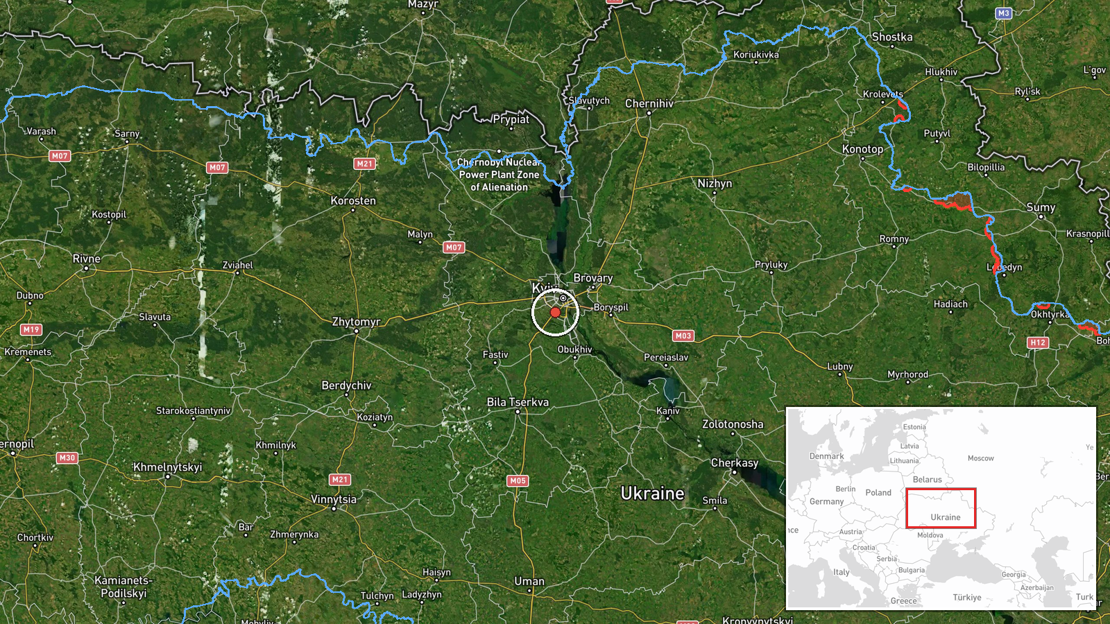
The location is assigned at settlement level, meaning the record points to the Teremky district rather than a specific street or facility. Coordinates of 50.37 N and 30.45 E fall within the district, and the location confidence is rated high. Teremky lies in the Svyatoshynskyi area of northwestern Kyiv, a built-up residential zone of apartment blocks and access roads. Its position on the city's western side makes it part of the approach path that the related warnings also describe.
Related events nearby
- Ukrainian air monitoring: 1 Russian jet-powered Shahed (Geran-3) drone heading toward Teremky, Kyiv.2026-10-20 13:38 UTC · Drone Transit · Teremky, Kyiv, Ukraine
- Ukrainian air monitoring: 1 Russian jet-powered Shahed (Geran-3) drone heading toward Teremky, Kyiv.2026-10-20 10:55 UTC · Drone Transit · Teremky, Kyiv, Ukraine
- Ukrainian air monitoring: 1 Russian jet-powered Shahed (Geran-3) drone heading toward Zhuliany, Kyiv.2026-10-20 12:41 UTC · Drone Transit · Zhuliany, Kyiv, Ukraine
- Ukrainian air monitoring: 1 Russian jet-powered Shahed (Geran-3) drone heading toward Zhuliany, Kyiv.2026-10-20 11:31 UTC · Drone Transit · Zhuliany, Kyiv, Ukraine
- Ukrainian air monitoring: 1 Russian jet-powered Shahed (Geran-3) drone heading toward Zhuliany, Kyiv.2026-10-20 11:05 UTC · Drone Transit · Zhuliany, Kyiv, Ukraine
▶ View this event on the live map

Intel Mapper aggregates open-source reports from monitored Telegram and X channels, geolocates them, cross-checks duplicates across sources and assigns a confidence score. Entries are updated as new confirmations arrive. Read how we verify events.