Jet-powered Russian drones reported transiting southern Dnipropetrovsk Oblast, heading west
What happened
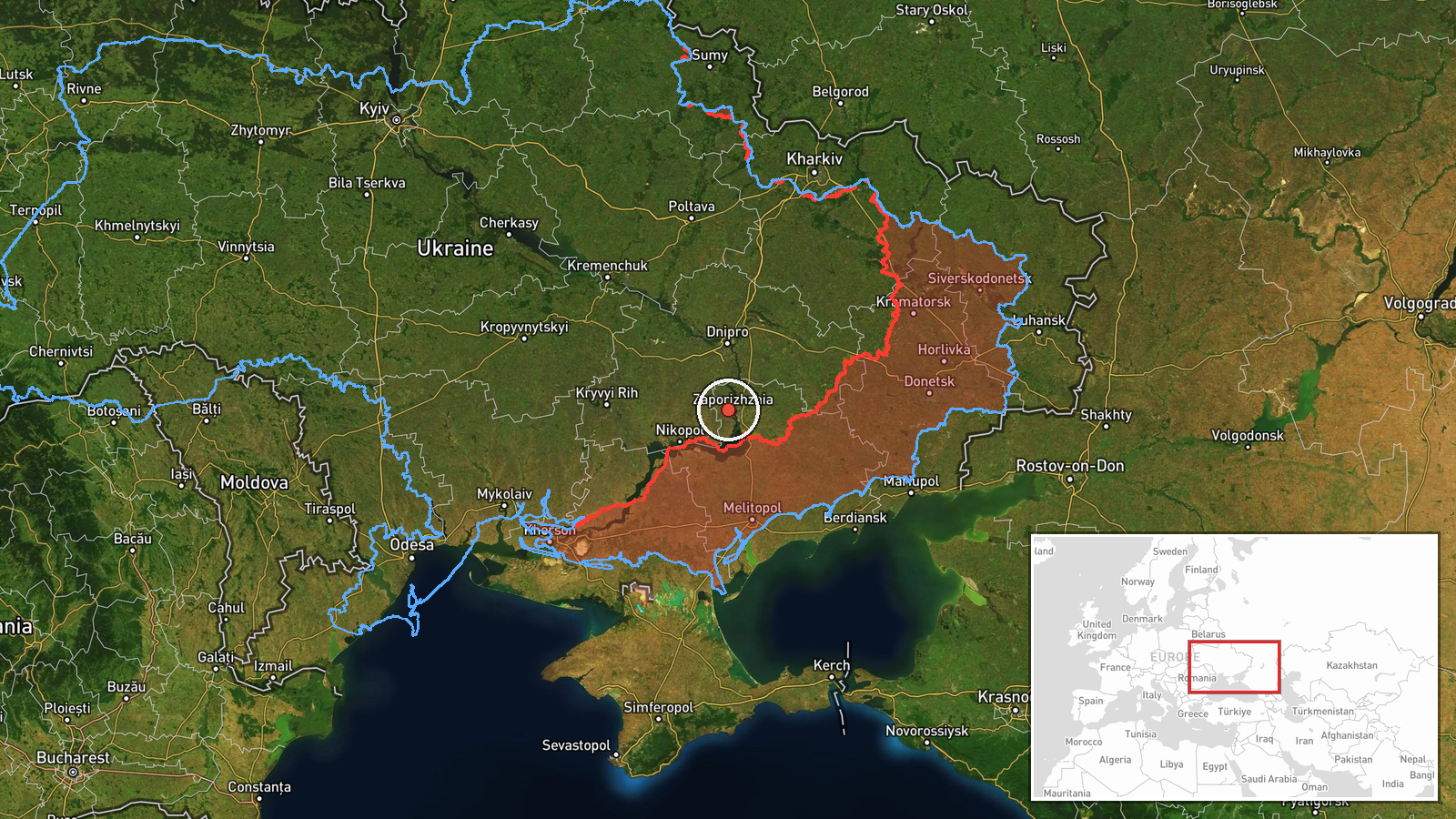
Ukraine's Air Force monitoring channel on Telegram (@kpszsu) reported on 21 October 2026 at 18:30 UTC that jet-powered Russian Shahed-type drones, described in the event summary as Geran-3, were passing through the south of Dnipropetrovsk Oblast and heading west. The original Ukrainian-language post refers to jet-powered UAVs in the south of Dnipropetrovshchyna and Kirovohradshchyna on a westward course. It names Kirovohrad Oblast as well, though the event record places the sighting only in Dnipropetrovsk. The post gives no exact number, so the summary's reference to two or more drones reflects plural wording rather than a counted figure. The message reports no impact, casualties or intended target. It is a transit warning, not a confirmed strike, and the track's endpoint is not stated.
Context and assessment
The location sits in a region that has drawn repeated Russian air activity, and this report follows a busy day of air alerts further east. Earlier on 21 October, monitoring messages logged a guided glide bomb heading toward Zaporizhzhia at 02:18 UTC, Russian tactical aviation at 07:13, and single Shahed-type drones at 13:07 and 18:02, the last identified as a Geran-3. A separate warning at 13:35 described incoming strike drones threatening Zaporizhzhia city. The Dnipropetrovsk track therefore fits a pattern of drones moving across the southern front in successive waves rather than appearing as isolated events. Jet-powered Geran-3 variants are generally described as faster and harder to intercept than the older piston-engine Shahed design, and they are often associated with saturating air defences. Operationally, a westward track through southern Dnipropetrovsk may indicate a route toward targets further west, a separate group using a different corridor, or a diversion. The available data cannot distinguish between these, so the intended destination should be treated as unknown.
Sources and confidence
The report rests on a single channel, the Telegram account @kpszsu, which publishes Ukrainian Air Force monitoring updates. No second outlet, official regional statement or independent track data confirms it, so cross-confirmation is absent. The confidence score of 8.0 reflects the channel's established role as an official military source and the timestamped, specific wording of the post. It is held below the top of the scale because the sighting is unverified by any other source and the place name is approximate. Confidence would rise with corroboration from regional administration reports, other monitoring accounts, or geolocated flight data. It would fall if later updates revised the direction, drone type or regional description.
Location
The location is determined at regional level only. The coordinates lie in the southern part of Dnipropetrovsk Oblast and are not tied to a named settlement or facility, so location confidence is rated low. The area is mostly flat steppe with farmland and scattered settlements, crossed by the Dnipro River valley to the north. Its southern edge approaches the boundary with Zaporizhzhia Oblast, which helps explain the overlap with reports from that city.
Related events nearby
- Ukrainian air monitoring: jet-powered Shahed (Geran-3) drones tracked south of Dnipro and north of Kropyvnytsk2026-10-21 18:50 UTC · Drone Transit · Southern Dnipropetrovsk Oblast, Ukraine
- Ukrainian air monitoring: 1 Russian jet-powered Shahed (Geran-3) drone heading toward Zaporizhzhia.2026-10-21 18:02 UTC · Drone Transit · Zaporizhzhia, Ukraine
- Ukrainian air monitoring: 1 Russian Shahed-type drone heading toward Zaporizhzhia.2026-10-21 13:07 UTC · Drone Transit · Zaporizhzhia, Ukraine
- Ukrainian air monitoring: Russian tactical aircraft (tac. aviation) heading toward Zaporizhzhia.2026-10-21 07:13 UTC · Combat Aircraft · Zaporizhzhia, Ukraine
- Ukrainian air monitoring: 1 Russian guided glide bomb (KAB) heading toward Zaporizhzhia.2026-10-21 02:18 UTC · Airstrike · Zaporizhzhia, Ukraine
▶ View this event on the live map

Intel Mapper aggregates open-source reports from monitored Telegram and X channels, geolocates them, cross-checks duplicates across sources and assigns a confidence score. Entries are updated as new confirmations arrive. Read how we verify events.