Jet-powered Shahed (Geran-3) drone reported heading toward Vinnytsia from the south
What happened
On 22 October 2026, at about 17:28 UTC, a Ukrainian air-monitoring post on Telegram (@kpszsu) reported one Russian jet-powered Shahed (Geran-3) drone on a course toward Vinnytsia, approaching from the south. The original Ukrainian wording, roughly translated, reads: a jet-type unmanned aerial vehicle heading for Vinnytsia from the south. The event is logged as a drone transit, meaning the report concerns a drone in flight rather than a confirmed strike. Related entries in the feed place the same type of drone over or near several points in Vinnytsia Oblast earlier that day, including Zhmerynka, Rakhny-Lisovi and Ananyiv, and on the previous evening over the southern part of the oblast, where two or more drones were reported heading west. No impact, casualty or damage claim appears in the data.
Context and assessment
Vinnytsia sits in west-central Ukraine, on the Southern Bug river, and is a regional administrative centre with rail links and road connections running toward the west and south. Zhmerynka, a major rail junction to the northwest, appears several times in the sequence, which suggests that the track of this drone or closely spaced drones followed transport corridors through the oblast. The series of entries across a single afternoon, with positions updated every few minutes, is consistent with a drone being tracked as it moved inland from the south. The earlier report from the previous evening of two or more Geran-3 drones moving west across the southern oblast indicates that this is a recurring pattern rather than an isolated sighting. Operationally, such transits are usually associated with long-range strike missions that pass through or near Vinnytsia on their way to other targets, though the data alone does not show the intended target. Analysts would expect the monitoring picture to change if drones were later reported down, diverted or impacting a specific site.
Sources and confidence
The report rests on a single Telegram channel, @kpszsu, which the handle associates with Ukrainian air-monitoring output. No independent outlet or second channel in the event data confirms this specific track. The confidence score of 8.0 reflects a credible official-style monitoring source, a consistent pattern of related reports from the same channel, and a clear, time-stamped description. It is held below the maximum because there is no cross-confirmation and the report does not state the drone's final position. Confidence would rise with corroboration from other monitoring feeds, regional military administration statements, or reports of debris or impacts. It would fall if later updates contradicted the track or showed the drone leaving the area.
Location
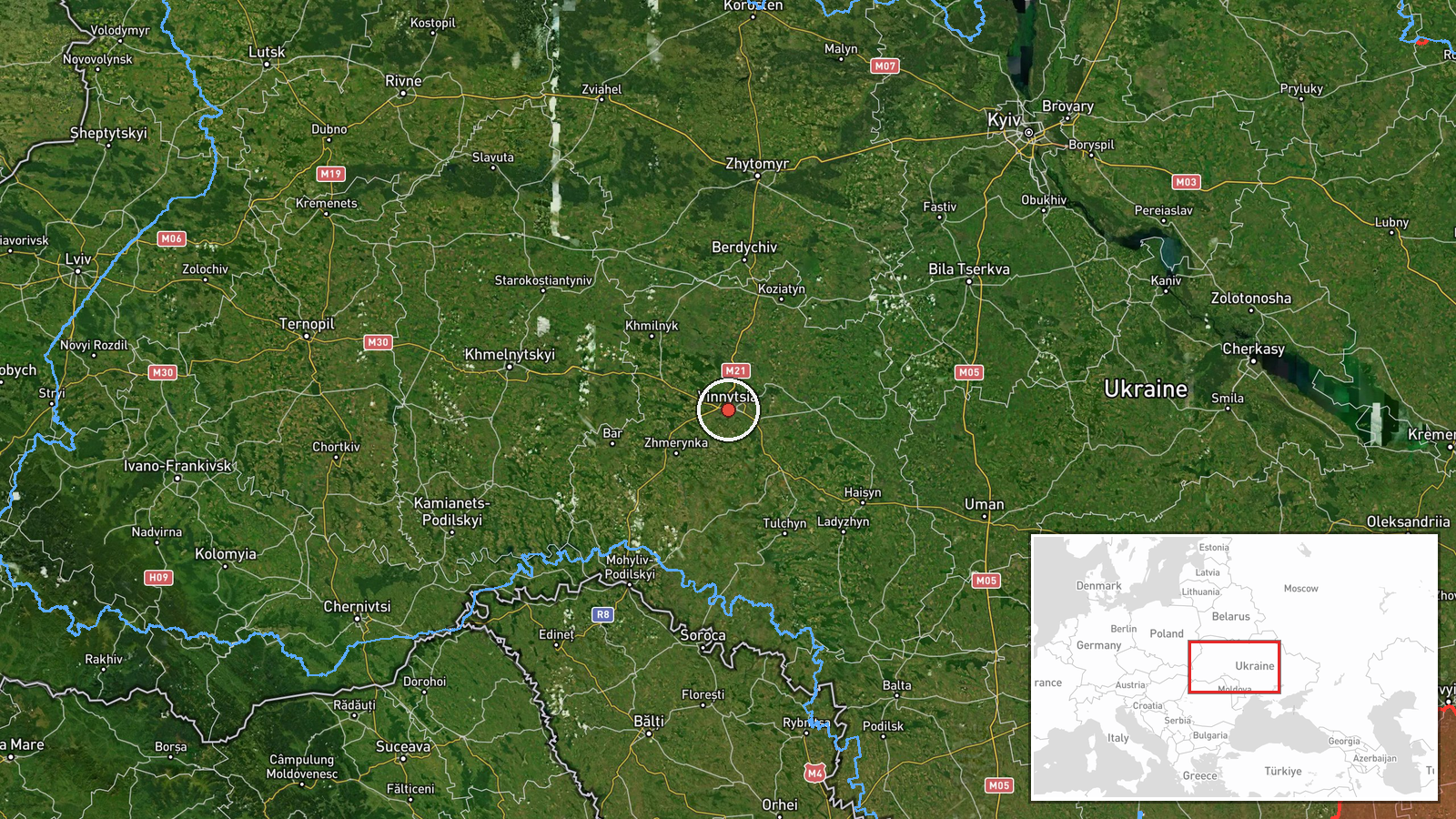
The location is the city of Vinnytsia, with coordinates at settlement precision, and the confidence in the placement is rated high. The point is the city centre, not a specific facility. Vinnytsia lies in the Southern Bug valley, and the surrounding oblast is mostly rolling farmland with rivers, forests and rail lines. The Southern Bug runs through the city, and the broader area includes the rail junction at Zhmerynka to the northwest. The coordinates describe the city and do not indicate where the drone was at the time of reporting.
Related events nearby
- Ukrainian air monitoring: 1 Russian jet-powered Shahed (Geran-3) drone heading toward Vinnytsia.2026-10-22 17:41 UTC · Drone Transit · Vinnytsia, Ukraine
- Ukrainian air monitoring: 1 Russian jet-powered Shahed (Geran-3) drone over Vinnytsia.2026-10-22 17:32 UTC · Drone Transit · Vinnytsia, Ukraine
- Ukrainian air monitoring: 1 Russian jet-powered Shahed (Geran-3) drone passing Ananyiv, heading toward Vinnyts2026-10-22 09:09 UTC · Drone Transit · Vinnytsia Oblast, Ukraine
- Ukrainian air monitoring: 1 Russian jet-powered Shahed (Geran-3) drone heading toward Zhmerynka.2026-10-22 17:02 UTC · Drone Transit · Zhmerynka, Ukraine
- Ukrainian air monitoring: 1 Russian jet-powered Shahed (Geran-3) drone heading toward Zhmerynka.2026-10-22 16:58 UTC · Drone Transit · Zhmerynka, Ukraine
▶ View this event on the live map

Intel Mapper aggregates open-source reports from monitored Telegram and X channels, geolocates them, cross-checks duplicates across sources and assigns a confidence score. Entries are updated as new confirmations arrive. Read how we verify events.