Jet-powered Shahed (Geran-3) drone reported heading toward Vinnytsia, Ukraine
What happened
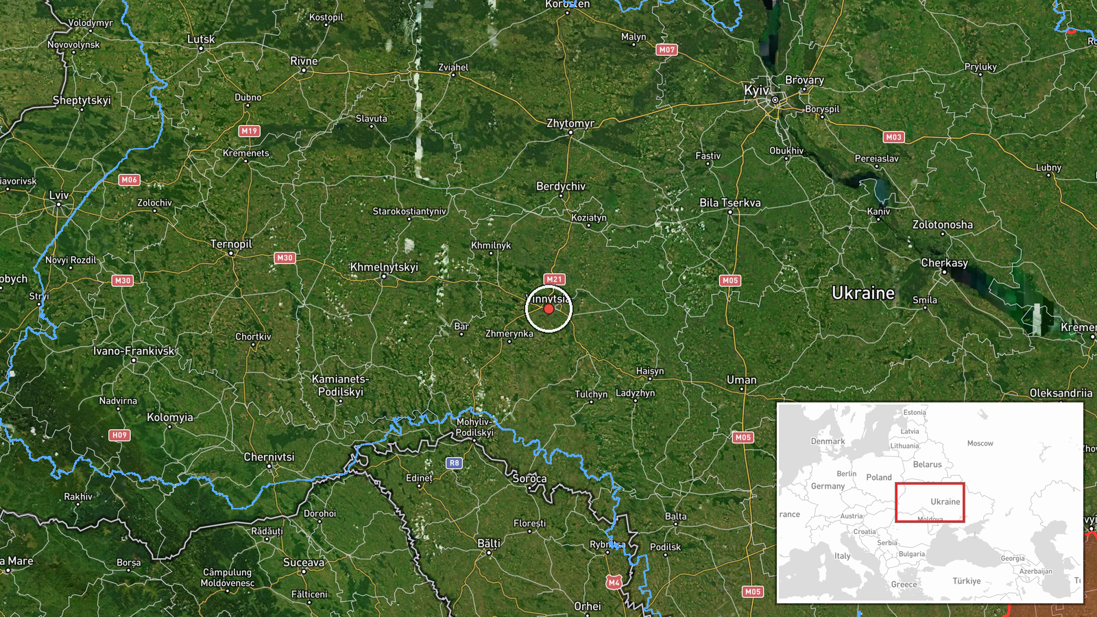
Ukrainian air monitoring reported at 17:41 UTC on 22 October 2026 that one jet-powered Shahed-type drone, identified as the Russian Geran-3, was heading toward the city of Vinnytsia from the east. The original Ukrainian-language post, published on the Telegram channel @kpszsu, describes a jet-powered unmanned aerial vehicle (БпЛА) moving toward the city. The post mentions no interception, impact point, damage or casualties. It is a transit warning rather than a report of a strike, so the update should be read as a tracked flight in progress rather than a confirmed attack. The attribution to Russia rests on the drone type, which Ukrainian authorities commonly associate with Russian launches.
Context and assessment
Vinnytsia is a regional administrative centre in west-central Ukraine, and its location on the Southern Bug river places it well inside the country, away from the front line. Reports of this kind are useful for showing how far long-range drones are penetrating the interior. Earlier entries on the same track began at 16:58 and 17:02 with drones heading toward Zhmerynka, a major railway junction northwest of Vinnytsia, and a 09:09 entry placed a drone passing Ananyiv on a heading toward Vinnytsia Oblast. Read together, the entries suggest a single drone or a small group followed a sustained path over several hours, with the city repeatedly named as the destination. The 17:32 and 17:28 entries placed a drone over and heading toward Vinnytsia, and this 17:41 post repeats the warning with a new bearing from the east. The direction differs from the westerly approach implied by the Zhmerynka entries, which may reflect a changed heading, a different aircraft, or imprecise bearing reporting. Operationally, repeated city-directed warnings over a single afternoon may indicate a drone being tracked through a corridor, or a launch pattern meant to stretch air defence attention. None of the related events describes an impact, so the sequence should not be taken as evidence of intent to strike a particular target.
Sources and confidence
Only one channel, the Telegram account @kpszsu, carries this report, so there is no cross-confirmation at present. The confidence score of 8.0 reflects an official-style monitoring feed that gives a specific drone type and heading, but it remains a single-source report, which limits the score. Confidence would rise if regional military administration statements, air alert records, or independent OSINT trackers corroborated the track, or if interception or debris were reported. It would fall if later updates revised the heading, or if the drone was reported to have turned away or dropped from tracking.
Location
The location is recorded at settlement precision with high location confidence, placing the event at Vinnytsia city, approximately 49.23 N, 28.47 E. The city sits on the Southern Bug river in west-central Ukraine and is a dense urban centre, so the coordinate marks the city rather than any specific facility. The Zhmerynka rail junction, named in earlier entries on this track, lies to the northwest and is a significant railway hub. The city's river setting and urban density are relevant to how the area is monitored and warned.
Related events nearby
- Ukrainian air monitoring: 1 Russian jet-powered Shahed (Geran-3) drone over Vinnytsia.2026-10-22 17:32 UTC · Drone Transit · Vinnytsia, Ukraine
- Ukrainian air monitoring: 1 Russian jet-powered Shahed (Geran-3) drone heading toward Vinnytsia.2026-10-22 17:28 UTC · Drone Transit · Vinnytsia, Ukraine
- Ukrainian air monitoring: 1 Russian jet-powered Shahed (Geran-3) drone passing Ananyiv, heading toward Vinnyts2026-10-22 09:09 UTC · Drone Transit · Vinnytsia Oblast, Ukraine
- Ukrainian air monitoring: 1 Russian jet-powered Shahed (Geran-3) drone heading toward Zhmerynka.2026-10-22 17:02 UTC · Drone Transit · Zhmerynka, Ukraine
- Ukrainian air monitoring: 1 Russian jet-powered Shahed (Geran-3) drone heading toward Zhmerynka.2026-10-22 16:58 UTC · Drone Transit · Zhmerynka, Ukraine
▶ View this event on the live map

Intel Mapper aggregates open-source reports from monitored Telegram and X channels, geolocates them, cross-checks duplicates across sources and assigns a confidence score. Entries are updated as new confirmations arrive. Read how we verify events.