Two or more jet-powered Shahed-type drones reported over Kyiv on 23 October 2026
What happened
Ukrainian air monitoring reported at least two jet-powered Russian Shahed-type drones, described in the report as Geran-3, flying over Kyiv at about 03:14 UTC on 23 October 2026. The original Ukrainian-language post, published on the Telegram channel @kpszsu, placed the sighting over the Troieshchyna district, a residential area on the northern side of the capital. The wording refers to reactive unmanned aerial vehicles, meaning jet-powered drones, and says they were over the city. The post does not mention explosions, casualties or damage. The event is classed as a drone transit, so the report concerns aircraft in flight rather than a confirmed strike.
Context and assessment
Kyiv has been a central target throughout the war, and the capital's government, energy and industrial infrastructure give it continuing strategic weight. This entry fits a sequence of related reports overnight. Shortly before, at 21:11 on 22 October, a ballistic missile strike on the city was reported, though the weapon type, casualties and damage were not specified. Monitoring then logged a Shahed-type drone heading toward Kyiv at 00:19, a group of two or more coming from northern Chernihiv Oblast toward Kyiv Oblast at 00:18, a further overflight of the city at 01:04, and a group passing Slavutych at 03:00. The pattern suggests drones arriving in successive waves along a northern approach, which may point to routing toward multiple targets, reconnaissance of air defence positions, or an attempt to saturate defences. The jet-powered Geran-3 variant is faster than piston-engine versions, which is one reason its identification matters for interception planning. These inferences rest on timing alone and should be treated as provisional.
Sources and confidence
The event rests on a single Telegram channel, @kpszsu, and the data records no independent cross-confirmation. The confidence score of 8.0 out of 10 reflects a monitoring feed with specific timing and place references, consistency with related reports from the same night, and the detailed aircraft identification. It does not reflect independent verification. Confidence would rise with corroboration from Kyiv city or regional military administrations, Ukrainian Air Force statements, wire agencies or local media, or from visible debris reports. It would fall if the channel issued a correction or if later reporting indicated misidentified aircraft.
Location
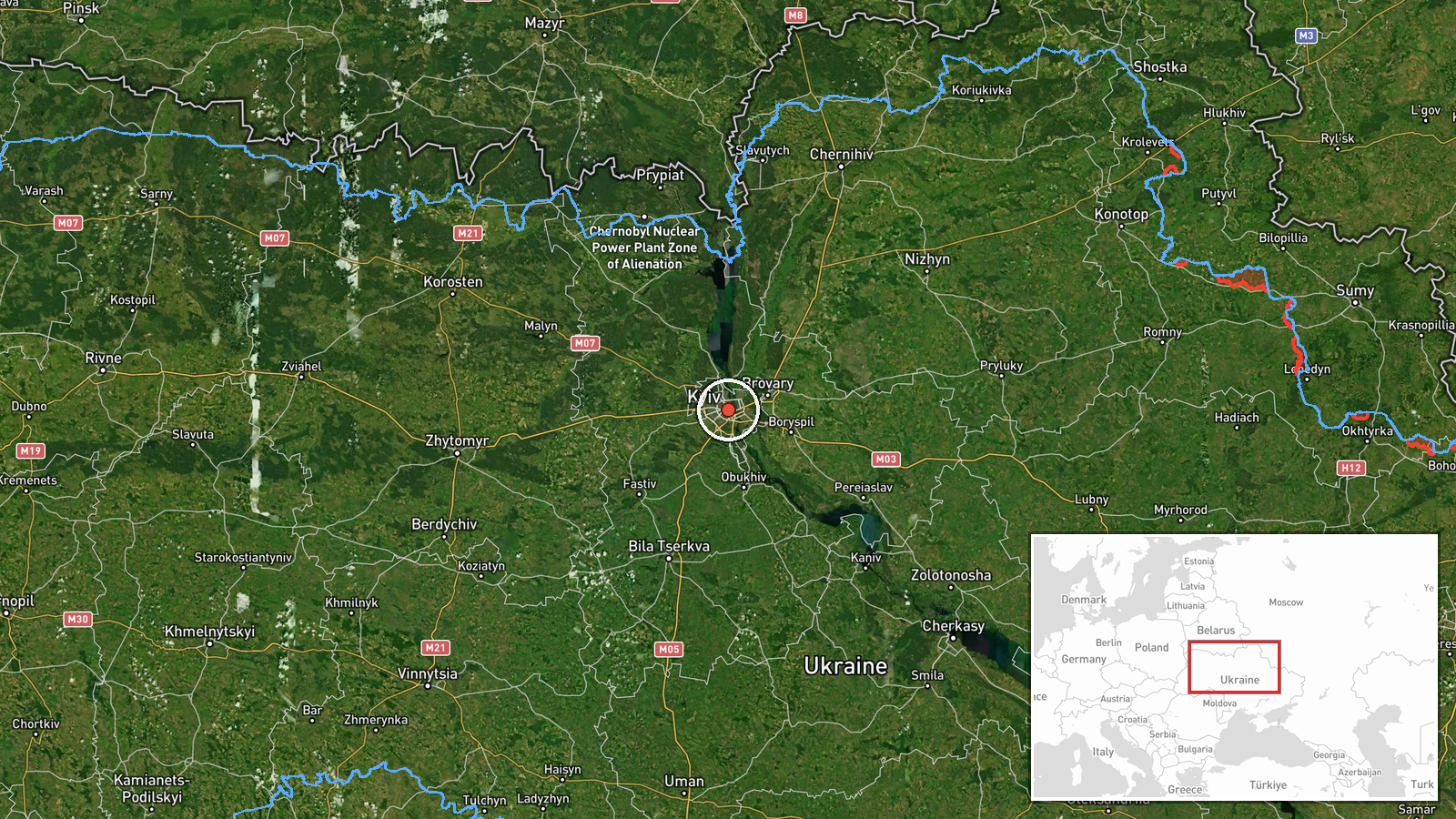
The location is recorded at settlement precision, with coordinates for central Kyiv at 50.45 N, 30.52 E. The exact point is an approximation derived from the Troieshchyna district named in the original post, so the marker sits at city-centre level rather than at a specific street. Troieshchyna lies on the northern edge of the city, in an area shaped by the Dnipro river corridor and its floodplain. The pin should be read as representing the city as a whole, not a precise aerial position.
Related events nearby
- Ukrainian forces announced development of FPV drones with roughly 50 km range, able to carry heavier explosive2026-10-23 03:56 UTC · Statement · Kyiv, Ukraine
- Ukrainian air monitoring: 2+ Russian jet-powered Shahed (Geran-3) drones passing Slavutych, heading toward Kyi2026-10-23 03:00 UTC · Drone Transit · Kyiv Oblast, Ukraine
- Ukrainian air monitoring: 2+ Russian jet-powered Shahed (Geran-3) drones over Kyiv.2026-10-23 01:04 UTC · Drone Transit · Kyiv, Ukraine
- Ukrainian air monitoring: 1 Russian Shahed-type drone heading toward Kyiv.2026-10-23 00:19 UTC · Drone Transit · Kyiv, Ukraine
- Ukrainian air monitoring: 2+ Russian Shahed-type drones from northern Chernihiv Oblast toward Kyiv Oblast.2026-10-23 00:18 UTC · Drone Transit · Kyiv Oblast, Ukraine
▶ View this event on the live map

Intel Mapper aggregates open-source reports from monitored Telegram and X channels, geolocates them, cross-checks duplicates across sources and assigns a confidence score. Entries are updated as new confirmations arrive. Read how we verify events.