Jet-powered Shahed drone reported transiting Kozova, Ternopil Oblast, heading northwest
What happened
Ukrainian air monitoring reported at 08:58 UTC on 23 October 2026 that one jet-powered Shahed-type drone was passing Kozova, a settlement in Ternopil Oblast in western Ukraine, and was heading northwest. The original post, published on Telegram under the handle @kpszsu, reads in Ukrainian as a jet-powered UAV passing Kozova in a northwest direction. It does not itself name the operator or the model. The attribution to Russia and the Geran-3 designation come from the event summary rather than the wording of the original post. The report describes transit only. It records no impact, damage, or casualties.
Context and assessment
Kozova lies along a corridor of drone movements across western Ukraine, and the related events on the same day show a broader sequence. Reports place drones near Kopychyntsi at 03:11 heading west, near Khodoriv at 03:30 heading west, over Ternopil Oblast at 06:40 heading northwest, toward Burshtyn in Ivano-Frankivsk Oblast at 06:53, near Smotrych at 08:47 heading toward Ternopil Oblast, and then at Kozova at 08:58. These reports span roughly six hours and several settlements. They do not establish whether they involve one airframe or several, since monitoring posts often reflect repeated sightings of different tracks. The shift between westward and northwestward headings may suggest multiple routes or attempts to move around air defense coverage, but the reports alone cannot confirm intent. Transit notices of this kind are typically used by regional authorities to warn residents and to track flight paths. Jet-powered variants are generally understood to be faster than piston-engine versions, which may shorten warning windows, a factor that gives the sequence added relevance.
Sources and confidence
The event rests on a single Telegram channel, @kpszsu, which is widely understood to carry Ukrainian air monitoring updates, and no other outlet has been identified as reporting this specific track. The confidence score of 8.0 reflects that single-source status, the absence of independent confirmation, and the lack of imagery or official follow-up. Confidence would rise with corroboration from other Ukrainian air monitoring or regional military administration channels, radar-based track data, or reports of debris or impacts in the area. It would fall if later updates contradicted the heading, timing, or identification, or if the channel issued a correction.
Location
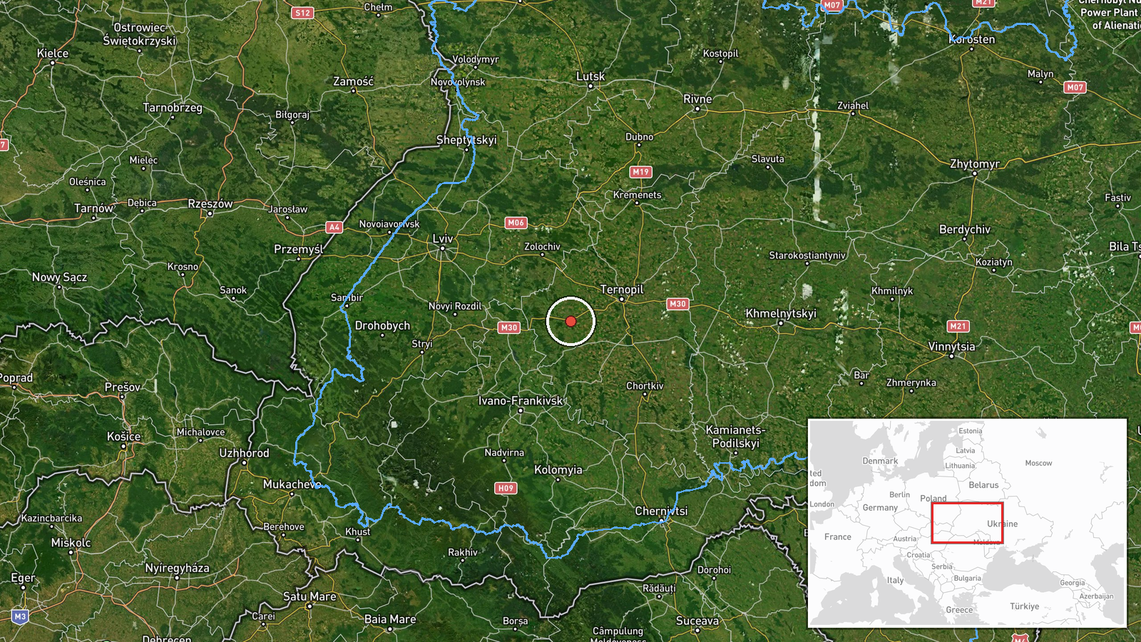
The location is placed at the settlement level, at coordinates 49.432 north and 25.145 east, which correspond to the town of Kozova in Ternopil Oblast, and location confidence is recorded as high. Kozova sits in western Ukraine, in a region of rolling terrain and farmland that lies between the Lviv area and central Ternopil Oblast. The town is within the corridor that drone reports frequently follow across the western oblasts, so its position is consistent with the reported transit path.
Related events nearby
- Ukrainian air monitoring: 1 Russian jet-powered Shahed (Geran-3) drone passing Smotrych, heading toward Ternop2026-10-23 08:47 UTC · Drone Transit · Ternopil Oblast, Ukraine
- Ukrainian air monitoring: 1 Russian jet-powered Shahed (Geran-3) drone passing Ternopil Oblast, heading northw2026-10-23 06:40 UTC · Drone Transit · Ternopil Oblast, Ukraine
- Ukrainian air monitoring reports a Russian Shahed-type drone heading toward Burshtyn, Ivano-Frankivsk Oblast.2026-10-23 06:53 UTC · Drone Transit · Burshtyn, Ivano-Frankivsk Oblast, Ukraine
- Ukrainian air monitoring: 1 Russian jet-powered Shahed (Geran-3) drone passing Khodoriv, heading west.2026-10-23 03:30 UTC · Drone Transit · Khodoriv, Ukraine
- Ukrainian air monitoring: one Russian jet-powered Shahed (Geran-3) drone tracked near Kopychyntsi, Ternopil Ob2026-10-23 03:11 UTC · Drone Transit · Kopychyntsi, Ternopil Oblast, Ukraine
▶ View this event on the live map

Intel Mapper aggregates open-source reports from monitored Telegram and X channels, geolocates them, cross-checks duplicates across sources and assigns a confidence score. Entries are updated as new confirmations arrive. Read how we verify events.