Hezbollah expands control in southern Lebanon's Nabatîyé region
What happened
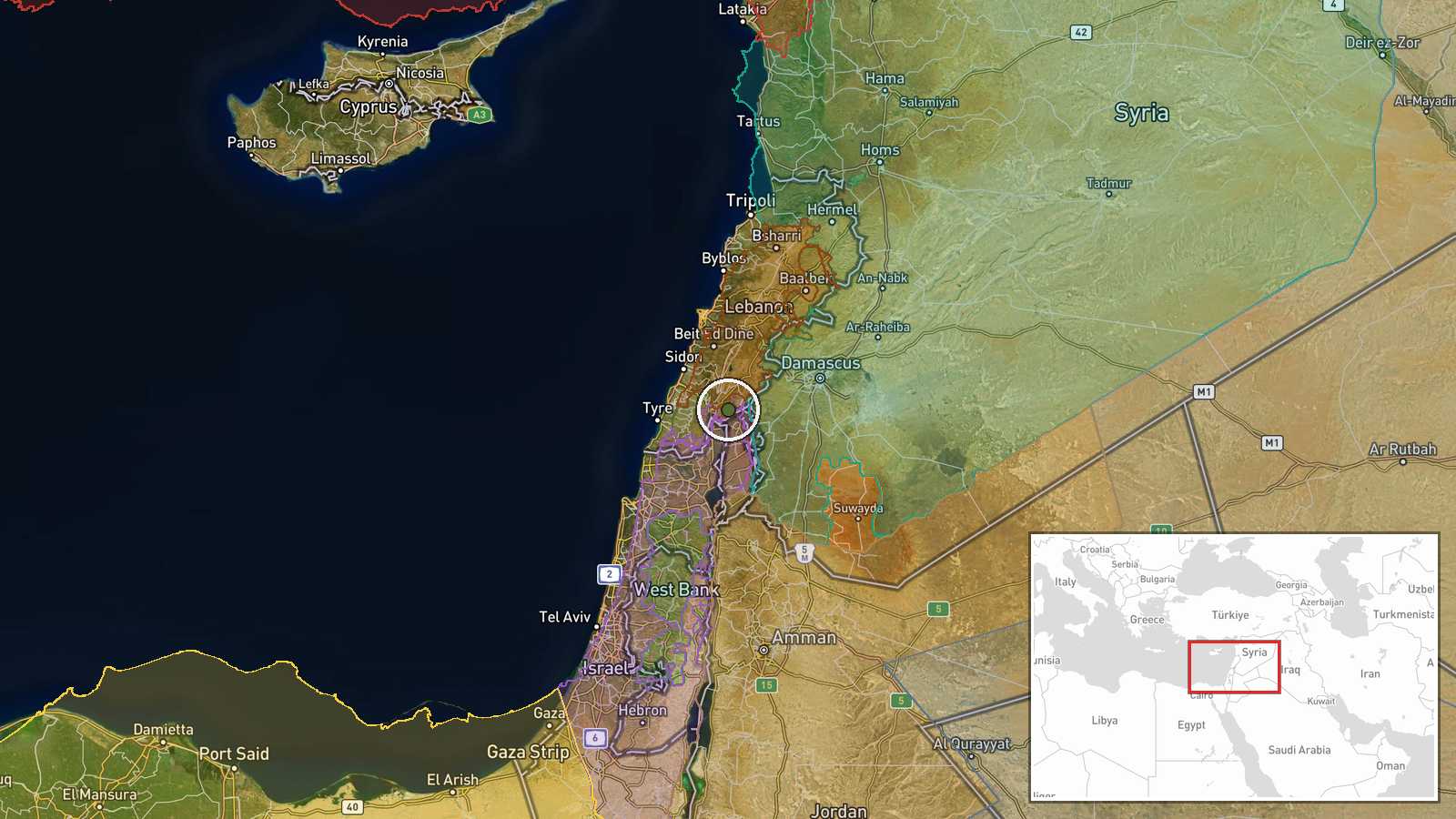
According to conflict control mapping, Hezbollah forces have expanded their territorial control in the Nabatîyé region of southern Lebanon by approximately 11 square kilometers as of 10 September 2026. Nabatîyé, a district in South Lebanon near the Israeli border, has been a focal point of military activity involving multiple actors. The reported expansion follows a pattern of contemporaneous control changes in the same area involving Lebanese state forces, Israeli military, and Hezbollah.
Context and assessment
Nabatîyé district has been central to escalating Israeli-Hezbollah tensions since 2024. The region's strategic proximity to Israel and its historically mixed population make it operationally significant for all parties. Control data from 10 September shows nearly simultaneous territorial adjustments by Lebanese forces (15 km²), Israeli forces (44 km² combined), and Hezbollah (approximately 117 km² combined across reported instances). These overlapping control claims suggest either fluid frontlines with rapid repositioning, overlapping territorial assertions by multiple actors, or mapping interpretation differences. The concentration of such activity on a single date warrants caution regarding precise territorial accounting.
Sources and confidence
This event is documented by Wiki conflict control map, a crowdsourced mapping platform. With a single source and moderate confidence score of 7.5, corroboration from independent military observers or satellite imagery would strengthen reliability. The coincidence of multiple large territorial claims on the same date and location raises questions about data synchronization or interpretation. Independent confirmation from established conflict monitoring organizations would significantly elevate confidence.
Location
Nabatîyé district (33.33°N, 35.68°E) lies in South Lebanon approximately 40 kilometers south of Beirut and near the Israeli border. The region encompasses both urban settlements and rural areas. Control mapping precision is regional rather than facility-specific, reflecting the distributed nature of the Nabatîyé district and the fluidity of frontlines in ongoing operations.
Related events nearby
- Lebanon forces expanded control (~15 km²) in the Nabatîyé area per updated conflict control map.2026-09-10 17:30 UTC · Combat · Nabatîyé
- Israel forces expanded control (~10 km²) in the Nabatîyé area per updated conflict control map.2026-09-10 17:30 UTC · Combat · Nabatîyé
- Israel forces expanded control (~34 km²) in the Nabatîyé area per updated conflict control map.2026-09-10 17:30 UTC · Combat · Nabatîyé
- Hezbollah forces expanded control (~106 km²) in the Nabatîyé area per updated conflict control map.2026-09-10 17:30 UTC · Combat · Nabatîyé
- Israeli Merkava main battle tank spotted positioned on Baraachit Ridge in southern Lebanon as part of ongoing 2026-09-10 18:50 UTC · Deployment · Baraachit Ridge, South Lebanon, Lebanon
▶ View this event on the live map
Intel Mapper aggregates open-source reports from monitored Telegram and X channels, geolocates them, cross-checks duplicates across sources and assigns a confidence score. Entries are updated as new confirmations arrive. Read how we verify events.