Israel destroys tunnel in southern Lebanon amid ongoing operations
What happened
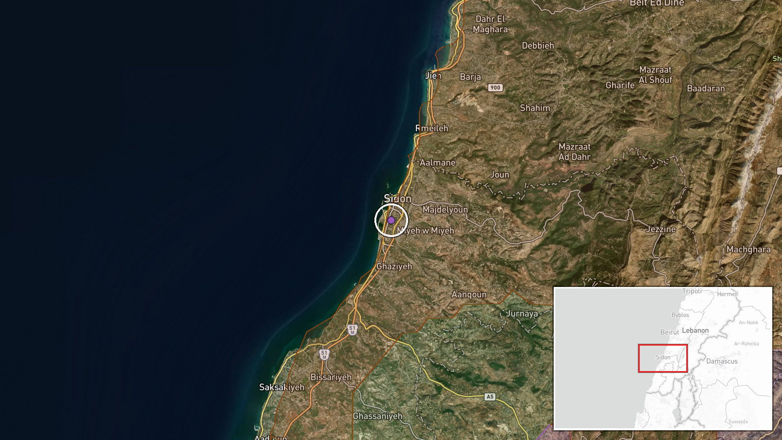
The Israeli military reportedly destroyed a tunnel in southern Lebanon on 10 September 2026 at approximately 18:35 UTC. The report, posted in Turkish on X by the account ConflictTR, does not specify the tunnel's depth, length, or operational purpose, nor does it provide detail on the method of destruction. The location has been mapped to coordinates in southern Lebanon with normal confidence.
Context and assessment
Southern Lebanon has been a focal point of Israeli operations targeting infrastructure and positions associated with Iranian-aligned groups and Hezbollah. The tunnel destruction occurs on a day marked by multiple Israeli military actions in the region, including airstrikes on the Beaufort Ridge (Ali Taher) area. Concurrently, the Nabatîyé district saw territorial flux among Israeli forces, Lebanese forces, and Hezbollah, each reportedly expanding control of small parcels. Tunnel networks in southern Lebanon typically serve supply, defensive, and command functions for armed groups operating near the Israeli border. The timing and clustering of operations on 10 September suggests a coordinated campaign, though the precise strategic objective remains unclear from available reporting.
Sources and confidence
Single source: X account ConflictTR published the report in Turkish. No cross-confirmation from independent verification channels, other conflict monitoring platforms, or Israeli official statements is evident in the provided data. The confidence score of 6.0 reflects the single-source nature and lack of corroborating detail. Confirmation from Israeli military statements, satellite imagery, or additional independent reporting would strengthen confidence. Absence of casualty claims or facility identification lowers the score slightly.
Location
Southern Lebanon, mapped to approximate coordinates 33.55°N, 35.37°E with exact geo-precision designation. The region lies in the southern portion of Lebanon near the Israeli border, characterized by rugged terrain and populated areas including the Nabatîyé district. The specific tunnel's location within this broader area cannot be determined from the available report.
Related events nearby
- Hezbollah forces expanded control (~106 km²) in the Nabatîyé area per updated conflict control map.2026-09-10 17:30 UTC · Combat · Nabatîyé
- Israel conducted airstrikes destroying infrastructure on Beaufort Ridge in southern Lebanon as part of operati2026-09-10 17:47 UTC · Airstrike · Ali Taher Ridge, South Lebanon
- Israel forces expanded control (~34 km²) in the Nabatîyé area per updated conflict control map.2026-09-10 17:30 UTC · Combat · Nabatîyé
- Lebanon forces expanded control (~15 km²) in the Nabatîyé area per updated conflict control map.2026-09-10 17:30 UTC · Combat · Nabatîyé
- Hezbollah forces expanded control (~11 km²) in the Nabatîyé area per updated conflict control map.2026-09-10 17:30 UTC · Combat · Nabatîyé
▶ View this event on the live map
Intel Mapper aggregates open-source reports from monitored Telegram and X channels, geolocates them, cross-checks duplicates across sources and assigns a confidence score. Entries are updated as new confirmations arrive. Read how we verify events.