Multiple Russian jet-powered Shahed drones tracked toward Dymer on October 15
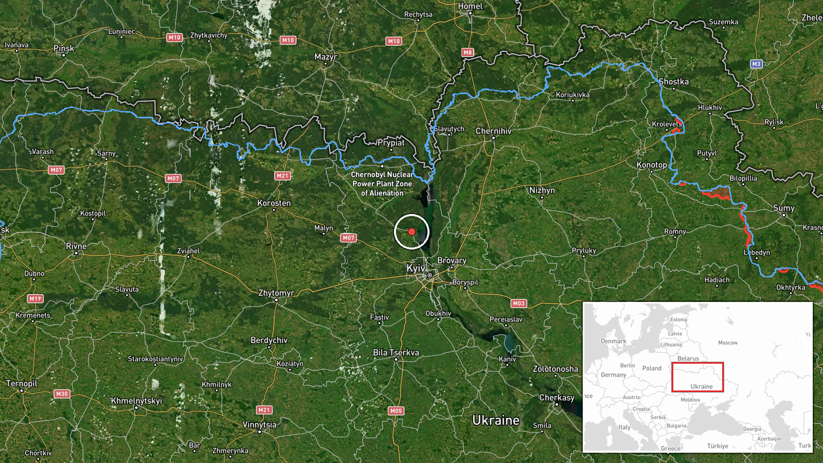
What happened
Ukrainian air monitoring detected at least two Russian jet-powered Shahed (Geran-3) drones heading toward Dymer, a settlement northwest of Kyiv, on the morning of October 15 at 06:05 UTC. This report came from the Telegram channel of the Air Force Command of the Armed Forces of Ukraine (@kpszsu). The detection followed earlier warnings of individual drones moving in the same direction, part of a broader wave of Russian unmanned aircraft activity across the Kyiv region that morning.
Context and assessment
Dymer sits approximately 40 kilometers northwest of Kyiv in a strategically sensitive area near the Dnieper River. The settlement has been a recurring target for Russian drone operations throughout the conflict. The October 15 activity reflects an intensifying pattern: Ukrainian air monitoring tracked at least five separate Shahed drone movements within a four-hour window targeting Dymer, Borodianka, and Vyshhorod—all towns in the Kyiv region critical to the capital's defense perimeter. This coordinated multi-vector approach suggests Russia may have been conducting a sustained strike campaign against infrastructure or military positions in northwestern Kyiv Oblast, consistent with documented Russian tactics of massed drone attacks to overwhelm air defenses.
Sources and confidence
Reported exclusively by the Air Force Command of the Armed Forces of Ukraine via Telegram (@kpszsu). No corroborating sources from independent monitors or alternative channels are listed. Confidence is rated 8.0 partly because the source is an official Ukrainian military channel with direct air-tracking capability, though single-source reporting limits independent verification. Confirmation from additional monitoring services or damage reports would strengthen confidence; absence of follow-up official statements or allied intelligence sharing would lower it.
Location
Dymer is a settlement in Kyiv Oblast, located approximately 40 kilometers north-northwest of central Kyiv at coordinates 50.79°N, 30.30°E. The town lies in relatively flat terrain near the Dnieper River valley, which forms a natural geographic barrier. The area is part of the densely populated suburban and exurban ring surrounding Ukraine's capital.
Related events nearby
- Ukrainian air monitoring: 1 Russian jet-powered Shahed (Geran-3) drone heading toward Dymer.2026-10-15 05:32 UTC · Drone Transit · Dymer, Ukraine
- Ukrainian air monitoring: 1 Russian jet-powered Shahed (Geran-3) drone passing Pivnichnyi, heading toward Dyme2026-10-15 01:52 UTC · Drone Transit · Dymer, Ukraine
- Ukrainian air monitoring: 2+ Russian jet-powered Shahed (Geran-3) drones heading toward Vyshhorod.2026-10-15 05:36 UTC · Drone Transit · Vyshhorod, Ukraine
- Ukrainian air monitoring: 1 Russian jet-powered Shahed (Geran-3) drone heading toward Borodianka.2026-10-15 04:55 UTC · Drone Transit · Borodianka, Ukraine
- Ukrainian air monitoring: 1 Russian jet-powered Shahed (Geran-3) drone heading toward Borodianka.2026-10-15 01:53 UTC · Drone Transit · Borodianka, Ukraine
▶ View this event on the live map

Intel Mapper aggregates open-source reports from monitored Telegram and X channels, geolocates them, cross-checks duplicates across sources and assigns a confidence score. Entries are updated as new confirmations arrive. Read how we verify events.