Single Shahed-type drone reported heading toward Obukhiv in Kyiv Oblast
What happened
Ukrainian air monitoring channel @kpszsu reported on 16 October 2026 at 18:25 UTC that one Russian Shahed-type drone was on a course toward Obukhiv, in Kyiv Oblast. The original Ukrainian-language post, rendered in English, reads roughly as 'Kyiv region: UAV on course for Obukhiv.' The report describes a drone in transit rather than an impact, and it does not specify the drone's altitude, speed, or whether it was later intercepted or lost. The post uses the generic term 'БпЛА' (unmanned aerial vehicle) and does not confirm the exact model, so the 'Shahed-type' label is the desk's classification of the wording. No casualties, damage, or specific target are mentioned in the source text.
Context and assessment
Obukhiv is a town in Kyiv Oblast, southwest of the capital, and it lies along the approach corridor that drones typically use when traveling toward the Kyiv area from the south and east. The same day's record shows a pattern of repeated drone transits across the Kyiv region. Between 02:16 and 15:44 UTC, monitoring channels logged several separate reports: groups of two or more jet-powered Shahed (Geran-3) drones passing south of Kyiv and across southern Kyiv Oblast heading west, and single drones heading toward Vyshneve and twice toward Vasylkiv. The sequence suggests sustained activity through the region rather than a single isolated launch. Obukhiv sits in the same general area as these reports, which may indicate a drone following a westward or northwestward track, or a separate drone routed through the oblast. Because the reports describe direction of travel rather than confirmed targets, the event most plausibly indicates monitoring of aerial movement, not a confirmed strike on the town. Analysts would typically read this as a warning-stage signal for local air defense and civilian alert systems.
Sources and confidence
The event rests on a single Telegram channel, @kpszsu, which is the Ukrainian air force monitoring feed. No second channel, official statement, or independent observation is linked in the data. Related reports from the same day come from the same type of monitoring source, which provides consistency in format but not independent confirmation of this specific track. The confidence score of 8.0 reflects that the source is an official monitoring feed with a clear location and timestamp, while the single-source basis and the lack of follow-up reporting keep it below the top range. Confidence would rise with corroborating reports from local authorities, regional military administration, or another monitoring outlet, or with a later record of an intercept or impact at Obukhiv. It would fall if subsequent updates revised the track or if the drone's heading were shown to be different.
Location
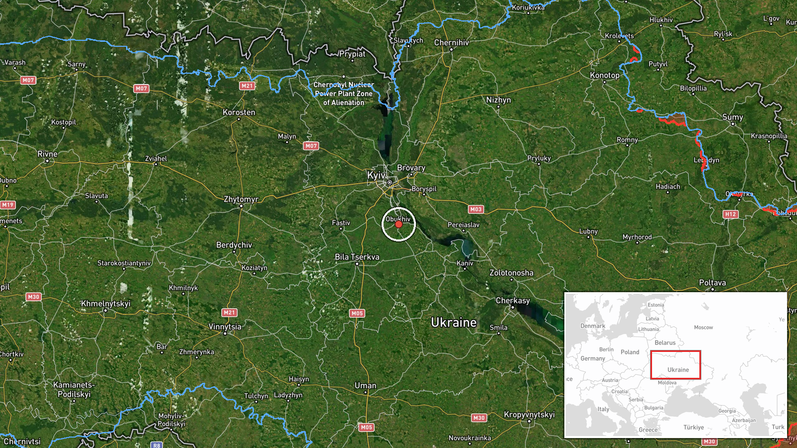
The location is classified as settlement-level precision with high location confidence, meaning the point marks the town of Obukhiv rather than a specific facility. The coordinates place the event near 50.12 N, 30.63 E. Obukhiv is a small city in Kyiv Oblast, roughly 40 kilometers south-southwest of central Kyiv. The surrounding terrain is largely flat agricultural and forested land typical of the Dnipro lowlands. The town is accessible by regional roads and rail corridors that link the capital with the south and west.
Related events nearby
- Ukrainian air monitoring: 2+ Russian jet-powered Shahed (Geran-3) drones passing south of Kyiv, heading west.2026-10-16 02:16 UTC · Drone Transit · south of Kyiv, Ukraine
- Ukrainian air monitoring: 1 Russian jet-powered Shahed (Geran-3) drone heading toward Vasylkiv.2026-10-16 15:44 UTC · Drone Transit · Vasylkiv, Ukraine
- Ukrainian air monitoring: 1 Russian Shahed-type drone heading toward Vasylkiv.2026-10-16 14:30 UTC · Drone Transit · Vasylkiv, Ukraine
- Ukrainian air monitoring: 2+ Russian jet-powered Shahed (Geran-3) drones passing southern Kyiv Oblast, heading2026-10-16 03:41 UTC · Drone Transit · southern Kyiv Oblast, Ukraine
- Ukrainian air monitoring: 1 Russian jet-powered Shahed (Geran-3) drone heading toward Vyshneve.2026-10-16 02:20 UTC · Drone Transit · Vyshneve, Ukraine
▶ View this event on the live map

Intel Mapper aggregates open-source reports from monitored Telegram and X channels, geolocates them, cross-checks duplicates across sources and assigns a confidence score. Entries are updated as new confirmations arrive. Read how we verify events.