Single jet-powered Geran-3 drone reported heading toward Obukhiv in Kyiv Oblast
What happened
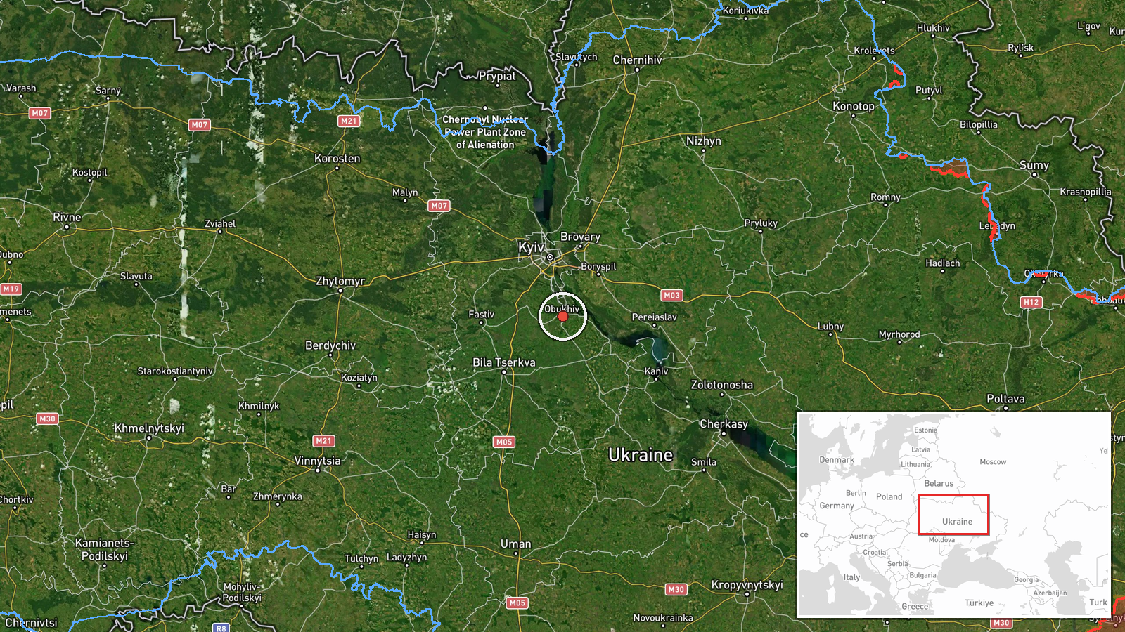
Ukrainian air monitoring channel @kpszsu reported on 16 October 2026, at about 20:34 UTC, that one Russian jet-powered Shahed-type drone, identified in the source as a Geran-3, was moving on a course toward Obukhiv in Kyiv Oblast. The original post, written in Ukrainian, describes a jet-powered UAV heading toward Obukhiv and uses the regional label Kyivshchyna. The report does not state whether the drone struck anything, whether it was intercepted, or whether any damage or casualties occurred. The event is logged as a drone transit, meaning a tracked aerial threat moving through an area rather than a confirmed impact.
Context and assessment
Obukhiv sits on the western edge of the Kyiv agglomeration, a short distance southwest of the capital, and its location places it along the approach corridors that Russian long-range drones have used when moving toward central and western Ukraine. The related events show a sustained pattern on the same day. Earlier reports described two or more Geran-3 drones passing south of Kyiv and southern Kyiv Oblast heading west at about 02:16 and 03:41 UTC. Later in the afternoon, single drones were reported heading toward Vasylkiv, a town south of Kyiv, at 14:30 and 15:44 UTC, before this report near Obukhiv. The sequence suggests a series of drones following routes through the Kyiv region rather than a single isolated sortie. Operationally, such transits are often read as reconnaissance, probing of air defence coverage, or a means of drawing interceptors, but the channel data alone cannot confirm intent or target. The jet-powered variant is generally faster and harder to intercept than the older piston-engine Shahed, which is one reason monitoring channels flag it separately.
Sources and confidence
The report rests on one Telegram channel, @kpszsu, which is linked to Ukrainian air-monitoring reporting. No second outlet in the data independently confirms the Obukhiv track, so cross-confirmation is absent. The confidence score of 8.0 reflects that the channel is an official-style monitoring source with a consistent pattern of same-day transit reports, but it is held below the top of the scale because the report is single-source and does not describe any outcome. Confidence would rise with corroboration from Ukrainian air force statements, regional military administration posts, or independent tracking of the same flight path. It would fall if later updates revised the type, direction, or location of the drone.
Location
The location is recorded as Obukhiv, a settlement, with high location confidence and settlement-level precision, so the coordinates mark the town rather than a specific facility. Obukhiv lies in Kyiv Oblast, west of the Kyiv city boundary, on relatively flat terrain drained by rivers and dotted with farmland, forest belts and transport links. The town is connected to the wider Kyiv region by regional roads and rail lines, which is why it appears in drone route reporting.
Related events nearby
- Ukrainian air monitoring: 1 Russian Shahed-type drone heading toward Obukhiv.2026-10-16 18:25 UTC · Drone Transit · Obukhiv, Ukraine
- Ukrainian air monitoring: 2+ Russian jet-powered Shahed (Geran-3) drones passing south of Kyiv, heading west.2026-10-16 02:16 UTC · Drone Transit · south of Kyiv, Ukraine
- Ukrainian air monitoring: 1 Russian jet-powered Shahed (Geran-3) drone heading toward Vasylkiv.2026-10-16 22:16 UTC · Drone Transit · Vasylkiv, Ukraine
- Ukrainian air monitoring: 1 Russian jet-powered Shahed (Geran-3) drone heading toward Vasylkiv.2026-10-16 15:44 UTC · Drone Transit · Vasylkiv, Ukraine
- Ukrainian air monitoring: 1 Russian Shahed-type drone heading toward Vasylkiv.2026-10-16 14:30 UTC · Drone Transit · Vasylkiv, Ukraine
▶ View this event on the live map

Intel Mapper aggregates open-source reports from monitored Telegram and X channels, geolocates them, cross-checks duplicates across sources and assigns a confidence score. Entries are updated as new confirmations arrive. Read how we verify events.