Single Russian Geran-3 jet drone reported heading toward Vasylkiv, Kyiv Oblast
What happened
A Ukrainian air monitoring channel on Telegram, @kpszsu, reported on 16 October 2026 at 22:16 UTC that one Russian jet-powered Shahed-type drone, identified as a Geran-3, was heading toward Vasylkiv in Kyiv Oblast. The original post, written in Ukrainian, describes a jet-type UAV approaching Vasylkiv from the south and places it in the Kyiv region. The wording covers only the drone's track and direction. It does not report an impact, damage, or casualties at the time of posting. The report comes from a single source and is logged as a drone transit, not a confirmed strike. Vasylkiv is a town southwest of Kyiv that the same channel named in an earlier alert the same day.
Context and assessment
The Geran-3 is the jet-powered variant of the Shahed family of one-way attack drones. Compared with the piston-engined Geran-2, it is faster and harder for slow-moving fire-control systems to track, which makes it useful for stressing air defenses. This report belongs to a pattern of repeated tracks across the Kyiv approaches on a single day. Earlier alerts included two or more Geran-3 drones passing south of Kyiv heading west at 02:16, one heading toward Vyshneve at 02:20, a Shahed-type drone toward Vasylkiv at 14:30, a Geran-3 toward Vasylkiv at 15:44, and a Geran-3 toward Obukhiv at 20:34. Vasylkiv appears twice, which may point to a routing corridor rather than a single aim point. Operationally, the sequence may suggest attempts to probe or saturate the southwestern air defense belt around the capital, or drones being directed along waypoints. The reported presence of military facilities near Vasylkiv could explain interest in the area, but the data does not establish a target. Without a confirmed endpoint or impact report, any reading of intent remains provisional.
Sources and confidence
The event rests on one Telegram channel, @kpszsu, which is the only source listed. No independent outlet, official statement, or second feed in the dataset confirms the track. The confidence score of 8.0 reflects that the channel carries a specific aircraft type, a clear direction and a named settlement, and that its earlier alerts in the same series appear consistent. The single-source status and the absence of any follow-up impact report keep the score below the top range. Confidence would rise with corroboration from other Ukrainian air monitoring feeds, regional military administration statements, or public flight-tracking data. It would fall if the drone's type were revised, the track were shown to turn away, or the alert were withdrawn.
Location
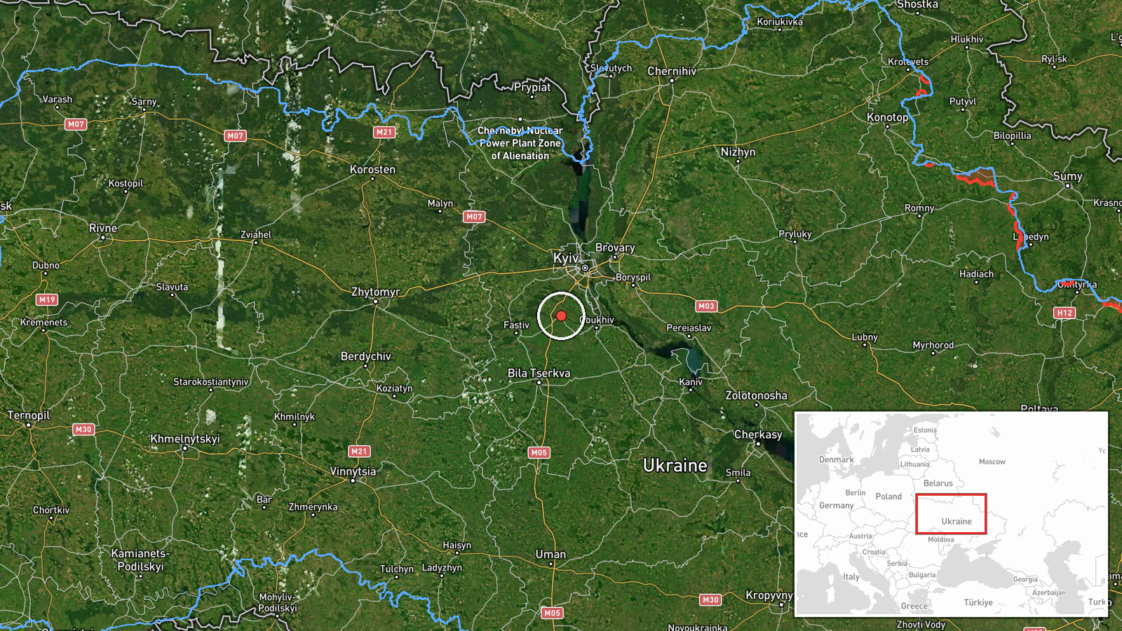
Location is assigned at settlement level, with high location confidence, placing the marker at the approximate centre of Vasylkiv. Vasylkiv lies in Kyiv Oblast roughly 40 kilometres southwest of central Kyiv. The terrain is the flat, largely agricultural plain of the middle Dnipro basin, with river valleys, forest belts and scattered reservoirs. The marker reflects the town rather than any specific facility, so it should not be read as a pinpoint on a target.
Related events nearby
- Ukrainian air monitoring: 1 Russian jet-powered Shahed (Geran-3) drone heading toward Vasylkiv.2026-10-16 15:44 UTC · Drone Transit · Vasylkiv, Ukraine
- Ukrainian air monitoring: 1 Russian Shahed-type drone heading toward Vasylkiv.2026-10-16 14:30 UTC · Drone Transit · Vasylkiv, Ukraine
- Ukrainian air monitoring: 2+ Russian jet-powered Shahed (Geran-3) drones passing south of Kyiv, heading west.2026-10-16 02:16 UTC · Drone Transit · south of Kyiv, Ukraine
- Ukrainian air monitoring: 1 Russian jet-powered Shahed (Geran-3) drone heading toward Vyshneve.2026-10-16 02:20 UTC · Drone Transit · Vyshneve, Ukraine
- Ukrainian air monitoring: 1 Russian jet-powered Shahed (Geran-3) drone heading toward Obukhiv.2026-10-16 20:34 UTC · Drone Transit · Obukhiv, Ukraine
▶ View this event on the live map

Intel Mapper aggregates open-source reports from monitored Telegram and X channels, geolocates them, cross-checks duplicates across sources and assigns a confidence score. Entries are updated as new confirmations arrive. Read how we verify events.