Ukrainian Air Force reports one Russian Shahed-type drone heading toward Chernihiv
What happened
Ukraine's air monitoring channel on Telegram, @kpszsu, reported at 07:57 UTC on 17 October 2026 that one Russian Shahed-type strike drone was heading toward Chernihiv from the northwest. The original Ukrainian-language post describes it as 'ударний БпЛА' (a strike unmanned aerial vehicle) moving 'на Чернігів з північного заходу' (toward Chernihiv from the northwest). The entry is classified as a drone transit, meaning a tracked airborne object on approach rather than a confirmed impact. The report names no damage, casualties, or interception outcome, and the entry has not been corrected. The target is Chernihiv city, a northern Ukrainian regional center near the Belarusian border.
Context and assessment
Chernihiv lies in northern Ukraine, close to the Belarusian frontier and the Desna River, and it is a regional center with administrative and transport significance. The event is one of five drone-transit reports naming the city in roughly 22 hours. The series began at 10:21 UTC on 16 October with three or more Shahed-type drones, followed by a report of two or more at 00:08 on 17 October. A jet-powered Geran-3 variant was tracked west of the city at 01:22, heading south. Single-drone reports then followed at 03:24, 06:55, and now 07:57. The pattern suggests repeated waves of activity directed at or past the city, with counts falling to single objects in the most recent reports. Operationally, a run of single-drone approaches from the northwest could reflect route probing, individual drones redirected from other axes, or reporting of decoy airframes, though the open reports alone do not establish intent or the actual target. The appearance of a jet-powered variant in the same window hints at a mixed drone profile, but that inference rests on a single tracking entry and should be treated cautiously.
Sources and confidence
The entry rests on one source, the @kpszsu Telegram channel, which is the Ukrainian Air Force's monitoring account and generally a primary source for airspace warnings. Confidence is 8.0 because the channel is official and the same account has issued several consistent tracking reports for Chernihiv that day. However, there is no independent cross-confirmation, no imagery, and no impact or interception report. Confidence would rise with corroboration from regional military administration statements, independent flight-tracking or radar-based open-source analysis, or reports of impact or interception. It would fall if the channel retracted or corrected the entry, or if later reports contradicted the tracked path.
Location
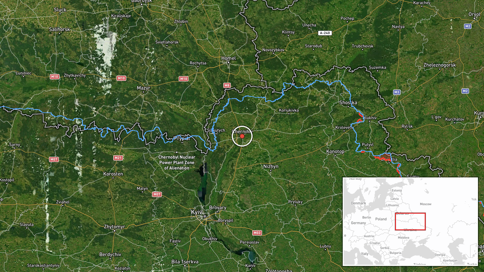
The location is recorded at settlement precision with high confidence, and the coordinates (51.49 N, 31.29 E) correspond to Chernihiv city rather than a specific facility. Chernihiv sits on the Desna River, which crosses the city and shapes its floodplains and riverside districts. The area is marked by forest and low-lying terrain, and the Belarusian border lies to the north. The reported approach from the northwest is consistent with this geography.
Related events nearby
- Ukrainian air monitoring: 1 Russian Shahed-type drone heading toward Chernihiv.2026-10-17 06:55 UTC · Drone Transit · Chernihiv, Ukraine
- Ukrainian air monitoring: 1 Russian Shahed-type drone heading toward Chernihiv.2026-10-17 03:24 UTC · Drone Transit · Chernihiv, Ukraine
- Ukrainian air monitoring: 2+ Russian Shahed-type drones heading toward Chernihiv.2026-10-17 00:08 UTC · Drone Transit · Chernihiv, Ukraine
- Ukrainian air monitoring: 3+ Russian Shahed-type drones heading toward Chernihiv.2026-10-16 10:21 UTC · Drone Transit · Chernihiv, Ukraine
- Ukrainian air monitoring: one Russian jet-powered Shahed (Geran-3) drone tracked west of Chernihiv, heading so2026-10-17 01:22 UTC · Drone Transit · West of Chernihiv, Chernihiv Oblast, Ukraine
▶ View this event on the live map

Intel Mapper aggregates open-source reports from monitored Telegram and X channels, geolocates them, cross-checks duplicates across sources and assigns a confidence score. Entries are updated as new confirmations arrive. Read how we verify events.