Ukrainian Air Force reports one Shahed-type drone heading toward Chernihiv from the north
What happened
Ukraine's Air Force monitoring channel on Telegram, @kpszsu, reported at 10:30 UTC on 17 October 2026 that a single UAV was heading toward Chernihiv from the north. The original Ukrainian post, 'БпЛА в напрямку міста з півночі', is a standard air-alert formulation indicating a drone tracked in the direction of the city, not a confirmed strike. The event is classified as a drone transit and attributed to Russia, with the drone described in the English summary as a Shahed-type model. The report describes no impact, casualties or damage, and none are attributed to this entry. It is one of five Chernihiv drone-transit reports logged that day, the first shortly after midnight UTC.
Context and assessment
Chernihiv sits in northern Ukraine near the Belarusian border, an approach that drones have used toward Kyiv and the north. Within the day's record the pattern is sustained rather than isolated. The earliest entry, at 00:08, described two or more Shahed-type drones heading toward the city. A report at 01:22 placed a jet-powered Geran-3 west of Chernihiv, heading south. Later entries at 03:24, 06:55 and 07:57 each describe a single drone on the same approach. The repetition could reflect separate launches or one flight path tracked in segments, and the wording alone cannot tell these apart. Operationally, the reports are consistent with routing drones through northern airspace to probe air defence coverage or to stretch alert resources, but they do not show intent to hit a particular target. The jet-powered variant mentioned at 01:22 is faster and harder for older interceptors to engage, though the report does not say it was the drone later tracked near the city. Readers should treat this sequence as a monitoring pattern, not evidence of a completed attack.
Sources and confidence
The report comes from a single Telegram channel, @kpszsu, which relays Ukrainian Air Force alert information. No independent outlet or second official channel in the provided data corroborates it. The confidence score of 8.0 reflects an official-origin channel, a clear timestamp and a consistent series of related entries. It is held below the maximum because an air-alert line does not confirm that the drone reached the city. Confidence would rise with a second independent report, radar-based tracking from another source, or a follow-up noting interception or impact. It would fall if the alert were revised, withdrawn, or found to refer to another oblast.
Location
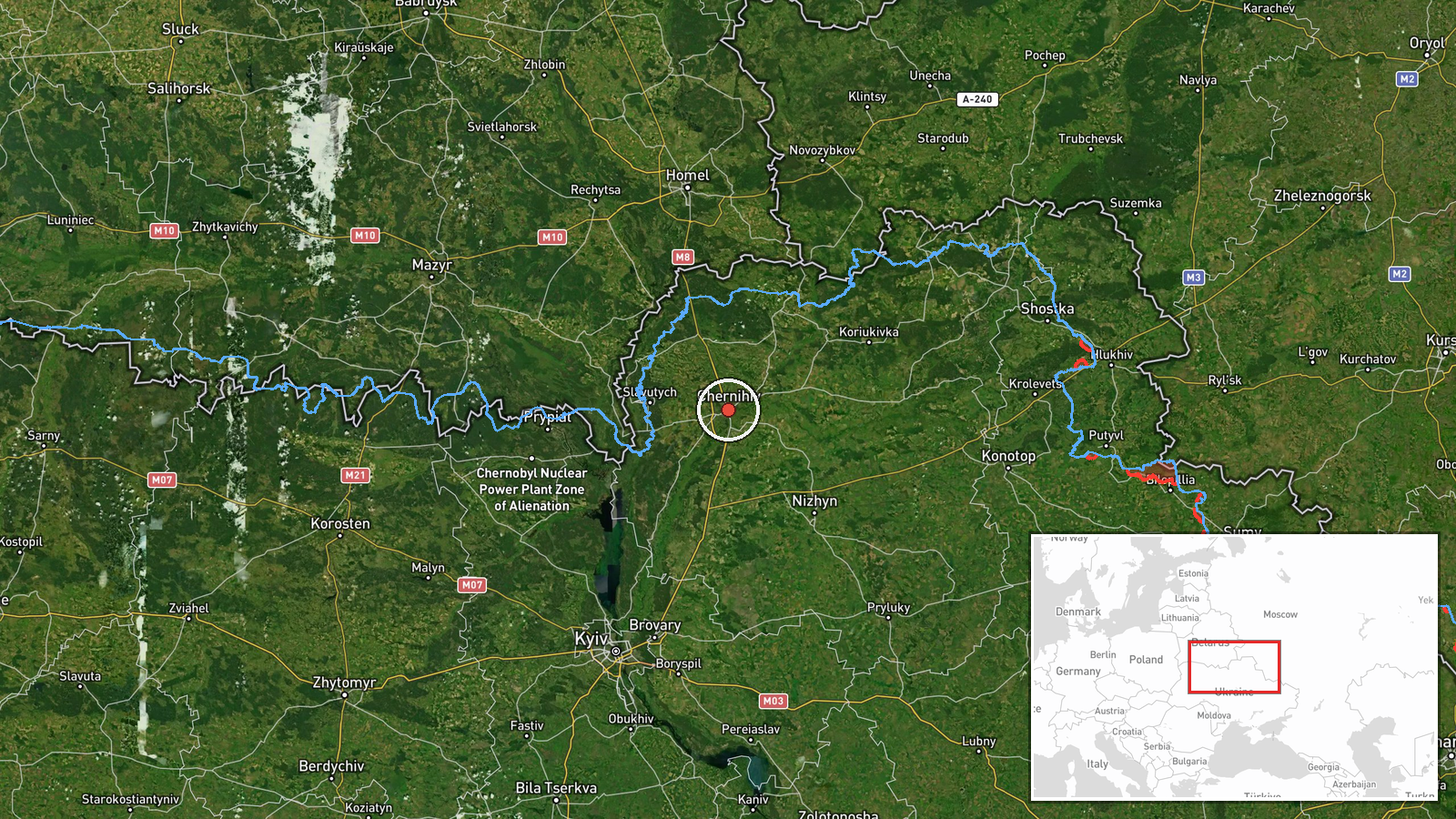
The location is Chernihiv city, set at settlement precision with high location confidence, because the source names the city directly. The plotted point, about 51.49 N and 31.29 E, is a city-level position rather than a specific facility. Chernihiv lies on the Desna River in flat northern terrain with forest belts nearby. The 01:22 entry places one drone west of the city, so the approach corridor extends beyond this single plotted point.
Related events nearby
- Ukrainian air monitoring: 1 Russian Shahed-type drone heading toward Chernihiv.2026-10-17 07:57 UTC · Drone Transit · Chernihiv, Ukraine
- Ukrainian air monitoring: 1 Russian Shahed-type drone heading toward Chernihiv.2026-10-17 06:55 UTC · Drone Transit · Chernihiv, Ukraine
- Ukrainian air monitoring: 1 Russian Shahed-type drone heading toward Chernihiv.2026-10-17 03:24 UTC · Drone Transit · Chernihiv, Ukraine
- Ukrainian air monitoring: 2+ Russian Shahed-type drones heading toward Chernihiv.2026-10-17 00:08 UTC · Drone Transit · Chernihiv, Ukraine
- Ukrainian air monitoring: one Russian jet-powered Shahed (Geran-3) drone tracked west of Chernihiv, heading so2026-10-17 01:22 UTC · Drone Transit · West of Chernihiv, Chernihiv Oblast, Ukraine
▶ View this event on the live map

Intel Mapper aggregates open-source reports from monitored Telegram and X channels, geolocates them, cross-checks duplicates across sources and assigns a confidence score. Entries are updated as new confirmations arrive. Read how we verify events.