Ukrainian air monitoring reports 2+ Shahed-type drones heading toward Chernihiv from the north
What happened
Ukrainian air monitoring reports, relayed through a single Telegram channel (@kpszsu), describe a group of two or more Russian Shahed-type drones heading toward Chernihiv. The report is timestamped 17 October 2026 at 11:42 UTC and is tagged to the city of Chernihiv in northern Ukraine. The original Ukrainian wording refers to a group of strike UAVs approaching Chernihiv from the north, which the English summary renders as drones heading toward the city. The report is a transit warning rather than a confirmed impact. It does not state whether any drones were intercepted, whether they struck anything, or whether anyone was hurt. The entry is one of six Drone Transit reports logged for Chernihiv that day, the first beginning at 00:08 UTC.
Context and assessment
Chernihiv lies in the north of Ukraine, close to the Belarusian border and within relatively short range of Russian territory, which makes it a plausible corridor for drones approaching from the north. Its location roughly 150 kilometres north of Kyiv also gives it strategic weight in the wider northern theatre. The related entries show a steady rhythm. A group of two or more drones was reported shortly after midnight, followed by a run of single-drone warnings at intervals of roughly one to three hours, and then this new group report. That pattern suggests repeated sorties or successive waves passing through the same airspace rather than one isolated incident. Operationally, a cluster of transit warnings over one city may indicate drones tracking toward targets in the region or being rerouted around air defence, but the data cannot show their intended destination. For residents, repeated warnings across a single day mean prolonged air-raid alerts and disruption, even when no impact is recorded. Readers should treat the operational reading as tentative until later reports confirm the drones' path or outcome.
Sources and confidence
All entries in this cluster, including the current report, rest on a single Telegram channel, @kpszsu, with no independent cross-confirmation recorded in the dataset. The confidence score of 8.0 reflects the channel's role as an official-style air monitoring source and the consistency of the warnings across the day, but the lack of corroboration keeps it below the top of the scale. Confidence would rise with independent confirmation from other monitoring channels, regional military administration statements, or reports of interceptions or debris. It would fall if the channel issued a correction, if later reporting identified the drones as a different type, or if no drones were subsequently detected. The record is currently marked as not corrected.
Location
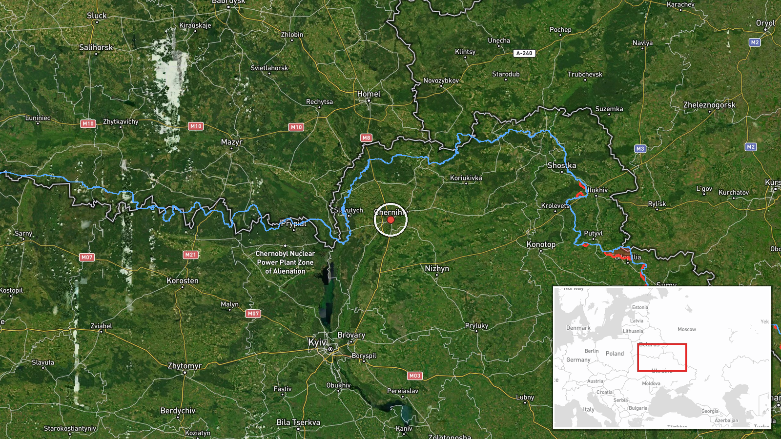
The location was resolved to Chernihiv at settlement level with high confidence, and the coordinates of 51.49 N, 31.29 E are a city-level approximation rather than a specific facility. Chernihiv sits on the Desna and Stryzhen rivers in northern Ukraine, near the Belarusian border and not far from Russia's Bryansk region. The surrounding terrain is largely flat, with forests and lowland marshes along the river valleys.
Related events nearby
- Ukrainian air monitoring: 1 Russian Shahed-type drone heading toward Chernihiv.2026-10-17 12:16 UTC · Drone Transit · Chernihiv, Ukraine
- Ukrainian air monitoring: 1 Russian Shahed-type drone heading toward Chernihiv.2026-10-17 12:10 UTC · Drone Transit · Chernihiv, Ukraine
- Ukrainian air monitoring: 1 Russian Shahed-type drone heading toward Chernihiv.2026-10-17 10:30 UTC · Drone Transit · Chernihiv, Ukraine
- Ukrainian air monitoring: 1 Russian Shahed-type drone heading toward Chernihiv.2026-10-17 07:57 UTC · Drone Transit · Chernihiv, Ukraine
- Ukrainian air monitoring: 1 Russian Shahed-type drone heading toward Chernihiv.2026-10-17 06:55 UTC · Drone Transit · Chernihiv, Ukraine
▶ View this event on the live map

Intel Mapper aggregates open-source reports from monitored Telegram and X channels, geolocates them, cross-checks duplicates across sources and assigns a confidence score. Entries are updated as new confirmations arrive. Read how we verify events.