Ukrainian air monitoring reports one Russian Shahed-type drone heading toward Chernihiv
What happened
Ukrainian air monitoring reported one Russian Shahed-type drone heading toward Chernihiv, a city in northern Ukraine, at 12:16 UTC on 17 October 2026. The original Ukrainian-language post, attributed to the Telegram channel @kpszsu, reads in translation roughly as 'still attack UAVs toward Chernihiv from the north,' describing drones approaching from the north. The summary records a count of one aircraft. The report does not describe any impact, damage, casualties, or interception. It is one of five drone-transit alerts logged for Chernihiv that day, beginning at 06:55 UTC, and it follows a 11:42 UTC report of two or more drones. Because this is a transit warning rather than a strike confirmation, the record describes an approaching aircraft, not a completed attack.
Context and assessment
Chernihiv sits close to the Belarusian border in northern Ukraine, roughly 150 kilometres north of Kyiv, so drones entering from the north or northeast reach it with little warning. Its location makes it a recurring point on the approach routes that Russian long-range drones have used against northern and central Ukraine since 2022. The five alerts on 17 October 2026 form a sustained series over about five hours, with the 11:42 report describing two or more aircraft and the others describing single drones. That pattern suggests either a sequence of separate launches or a formation moving in intervals, though the data cannot distinguish between these. Repeated single-drone transits can serve several purposes, including probing air defence coverage, forcing alert status and civilian sheltering, and drawing interceptor fire. Without follow-up reports of impacts, the most cautious reading is that the event reflects ongoing surveillance and warning activity rather than a confirmed strike campaign against the city on that day.
Sources and confidence
All five related events and this entry rest on a single Telegram channel, @kpszsu, which is widely associated with Ukrainian Air Force monitoring. No independent outlet, second channel, or official statement in the dataset corroborates the transit. The confidence score of 8.0 reflects a clear, specific, and consistent source with a high-precision location, but it is held below the maximum because of single-channel dependence. Confidence would rise with corroboration from a second monitoring feed or official regional reports, or with confirmed impact information. It would fall if later reporting disputed the track or if the alerts were revised.
Location
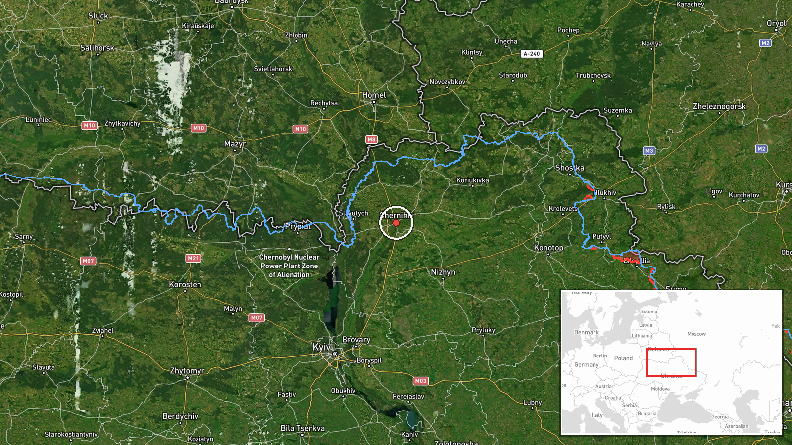
The coordinates place the event at the centre of Chernihiv city, classified as settlement-level precision with high location confidence, so the point is reliable for the city as a whole. Chernihiv lies on the Desna River in the flat, forested terrain of the Polissia region, and the surrounding area includes wetlands, pine forest, and the river floodplain. The city is near the northern border with Belarus, and the flat landscape offers little natural cover from low-flying drones.
Related events nearby
- Ukrainian air monitoring: 1 Russian Shahed-type drone heading toward Chernihiv.2026-10-17 12:10 UTC · Drone Transit · Chernihiv, Ukraine
- Ukrainian air monitoring: 2+ Russian Shahed-type drones heading toward Chernihiv.2026-10-17 11:42 UTC · Drone Transit · Chernihiv, Ukraine
- Ukrainian air monitoring: 1 Russian Shahed-type drone heading toward Chernihiv.2026-10-17 10:30 UTC · Drone Transit · Chernihiv, Ukraine
- Ukrainian air monitoring: 1 Russian Shahed-type drone heading toward Chernihiv.2026-10-17 07:57 UTC · Drone Transit · Chernihiv, Ukraine
- Ukrainian air monitoring: 1 Russian Shahed-type drone heading toward Chernihiv.2026-10-17 06:55 UTC · Drone Transit · Chernihiv, Ukraine
▶ View this event on the live map

Intel Mapper aggregates open-source reports from monitored Telegram and X channels, geolocates them, cross-checks duplicates across sources and assigns a confidence score. Entries are updated as new confirmations arrive. Read how we verify events.