Ukrainian monitors report one Shahed-type drone heading toward Chernihiv from the north
What happened
Ukrainian air monitoring reported on 17 October 2026 at 12:10 UTC that one Russian Shahed-type drone was heading toward Chernihiv from the north. The report was posted on Telegram by the channel @kpszsu. Its original wording, a short alert reading roughly 'UAV toward Chernihiv from the north', describes the track rather than any impact. The message does not state altitude, speed, or whether the drone was later tracked to a specific point in the city. The event is classed as a drone transit, meaning an alert about an aircraft moving toward an area rather than a confirmed strike. It is recorded at settlement precision for Chernihiv itself. The source describes no casualties, damage, or interception.
Context and assessment
Chernihiv sits in northern Ukraine, roughly 140 kilometres north-east of Kyiv and close to the Belarusian border. A drone approaching from the north follows a different track from the southern and eastern approaches usually associated with longer-range strikes on central Ukraine, which makes the heading worth noting. The related entries show the city named as the destination of several tracks within a single morning and early afternoon. Five Chernihiv transit reports are logged on 17 October, starting at 06:55 UTC and ending at 12:16 UTC. The 11:42 entry describes two or more drones, while the others describe a single aircraft. This repetition suggests either individual drones launched in sequence or the same northern corridor being used repeatedly. Operationally, frequent single-drone tracks from this direction can be consistent with reconnaissance, probing of air defence, or drones passing toward targets further south or east, but the data alone cannot establish which. Analysts would look for matching reports from neighbouring oblasts or Ukrainian Air Force alerts to see whether the track continued beyond the city. Because the feed records heading rather than destination, the intended target remains unknown.
Sources and confidence
Only one channel, Telegram @kpszsu, reported this event, and the feed records no independent confirmation. The confidence score of 8.0 is high for a single-source item because the channel is an official Ukrainian air-monitoring source, but the lack of a second report and the transit-only nature of the message keep it below the maximum. Confidence would rise if other monitoring channels, regional military administrations, or Air Force alerts echo the track. It would fall if the channel corrects or withdraws the message, or if later reporting shows no drone in the area.
Location
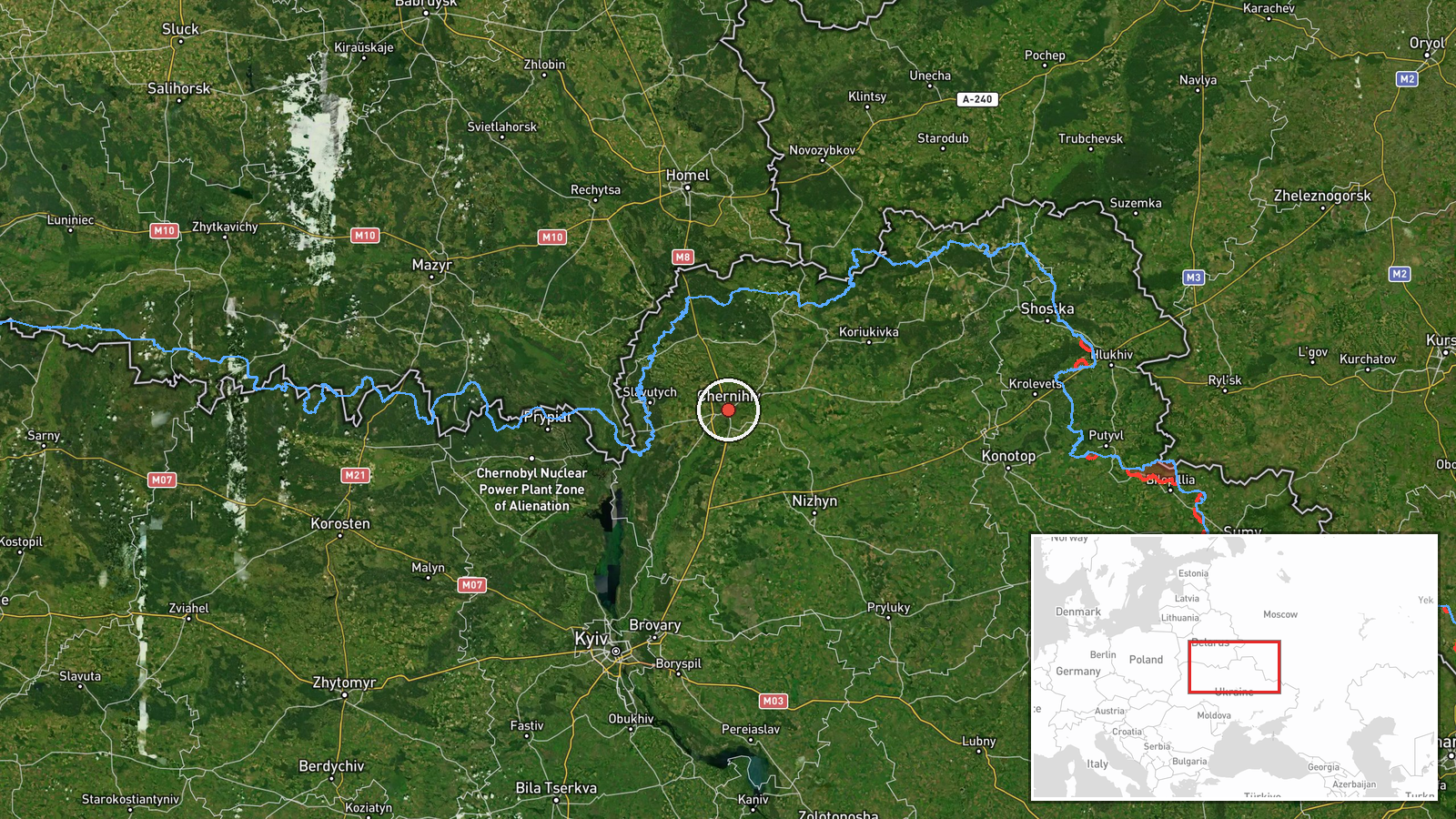
The location is settlement-level. The coordinates are placed on Chernihiv city itself, and location confidence is rated high because the named place matches the city directly. Chernihiv lies in northern Ukraine near the Belarusian border, on the Desna River. No street-level position is given. For a drone heading toward a city, the point reflects the destination named in the alert rather than any observed position of the aircraft.
Related events nearby
- Ukrainian air monitoring: 1 Russian Shahed-type drone heading toward Chernihiv.2026-10-17 12:16 UTC · Drone Transit · Chernihiv, Ukraine
- Ukrainian air monitoring: 2+ Russian Shahed-type drones heading toward Chernihiv.2026-10-17 11:42 UTC · Drone Transit · Chernihiv, Ukraine
- Ukrainian air monitoring: 1 Russian Shahed-type drone heading toward Chernihiv.2026-10-17 10:30 UTC · Drone Transit · Chernihiv, Ukraine
- Ukrainian air monitoring: 1 Russian Shahed-type drone heading toward Chernihiv.2026-10-17 07:57 UTC · Drone Transit · Chernihiv, Ukraine
- Ukrainian air monitoring: 1 Russian Shahed-type drone heading toward Chernihiv.2026-10-17 06:55 UTC · Drone Transit · Chernihiv, Ukraine
▶ View this event on the live map

Intel Mapper aggregates open-source reports from monitored Telegram and X channels, geolocates them, cross-checks duplicates across sources and assigns a confidence score. Entries are updated as new confirmations arrive. Read how we verify events.