Single jet-powered Geran-3 drone reported heading toward Chernihiv from the northeast
What happened
Ukraine's air monitoring channel on Telegram (@kpszsu) reported on 17 October 2026 at 13:48 UTC that one Russian jet-powered Shahed, identified as a Geran-3, was heading toward Chernihiv from the northeast. The original post, written in Ukrainian, describes it as a jet-type unmanned aerial vehicle (БпЛА) flying in on Chernihiv from the northeast. The report is an air-alert style warning rather than a confirmed impact, and it does not mention damage, casualties, or interception. The event is logged as a drone transit with Russia named as the actor, based on the attribution in the channel's warning and general knowledge of the Geran family.
Context and assessment
Chernihiv, in northern Ukraine near the Belarusian border, has appeared repeatedly in air-threat reporting, and this entry is one of several in a short window on the same day. Earlier entries from 07:57, 10:30, and 11:42 UTC describe one or more Shahed-type drones heading toward the city, with the 11:42 report noting two or more. The 12:10 and 12:16 updates repeat single-drone warnings. The pattern suggests intermittent drone flights in the northern corridor rather than one sustained strike. The jet-powered Geran-3 variant is faster and harder to intercept than the older piston-engine Shahed, so its appearance in the warnings may matter for air defence planning. Operationally, repeated single-drone transits can indicate reconnaissance, probing of air defences, or attempts to saturate alert systems, though the data alone does not establish which purpose applies.
Sources and confidence
The event rests on a single Telegram channel, @kpszsu, which is the official Ukrainian air-monitoring account. No second independent outlet appears in the provided data, so cross-confirmation is absent. The confidence score of 8.0 reflects the official nature of the source and the specific, time-stamped warning, offset by the single-channel basis and the absence of impact reporting. Confidence would rise with corroboration from another monitoring channel, regional military administration statements, or debris and impact reports. It would fall if later updates retract the drone type or show the track was a different aircraft.
Location
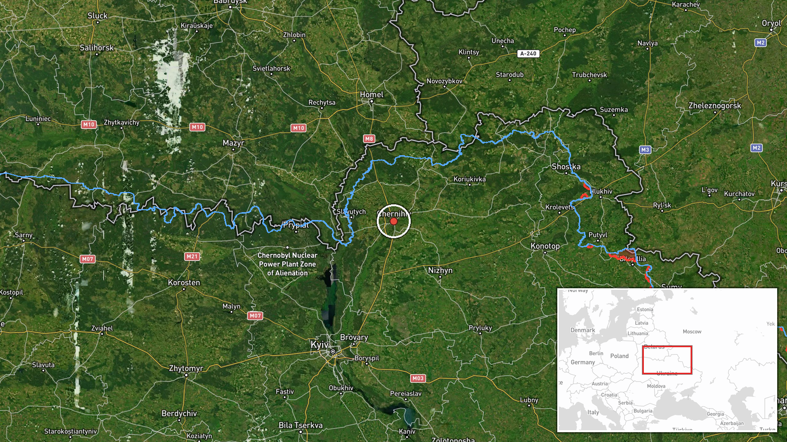
The location is set to the city of Chernihiv at settlement precision, with high location confidence, because the warning names the city directly. The coordinates, approximately 51.49 N and 31.29 E, mark the city area. Chernihiv sits on the Desna River in northern Ukraine, close to the borders with Belarus and Russia. The region is largely flat and forested, with the river and its floodplain shaping approach routes. The warning's reference to the northeast matches the broad direction of the Russian border.
Related events nearby
- Ukrainian air monitoring: 1 Russian Shahed-type drone heading toward Chernihiv.2026-10-17 12:16 UTC · Drone Transit · Chernihiv, Ukraine
- Ukrainian air monitoring: 1 Russian Shahed-type drone heading toward Chernihiv.2026-10-17 12:10 UTC · Drone Transit · Chernihiv, Ukraine
- Ukrainian air monitoring: 2+ Russian Shahed-type drones heading toward Chernihiv.2026-10-17 11:42 UTC · Drone Transit · Chernihiv, Ukraine
- Ukrainian air monitoring: 1 Russian Shahed-type drone heading toward Chernihiv.2026-10-17 10:30 UTC · Drone Transit · Chernihiv, Ukraine
- Ukrainian air monitoring: 1 Russian Shahed-type drone heading toward Chernihiv.2026-10-17 07:57 UTC · Drone Transit · Chernihiv, Ukraine
▶ View this event on the live map

Intel Mapper aggregates open-source reports from monitored Telegram and X channels, geolocates them, cross-checks duplicates across sources and assigns a confidence score. Entries are updated as new confirmations arrive. Read how we verify events.