Ukrainian Air Force reports at least two Russian Shahed-type drones passing Horodnia, Chernihiv Oblast
What happened
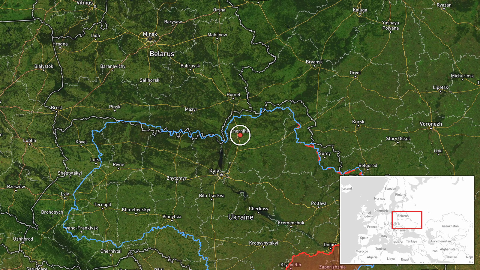
Ukraine's Air Force monitoring channel on Telegram, @kpszsu, reported a group of at least two Russian Shahed-type strike drones passing near Horodnia in Chernihiv Oblast on 17 October 2026 at 14:59 UTC. The original Ukrainian wording describes a group of strike UAVs passing the town. The report is a transit alert rather than a confirmed impact: it describes the drones' track and does not mention strikes, damage, or casualties. The event is logged under the Drone Transit category with Russia as the attributed actor. The town is named in the report, but the map point is set at regional level, so the position should be read as approximate. The channel's wording is brief and operational, and the source text gives no detail on altitude, heading, or outcome.
Context and assessment
Horodnia is a small town on the Desna River in the north of Chernihiv Oblast, close to the Belarus border. The wider Chernihiv area sits on a northern approach that drones heading toward Kyiv and other targets can use, so reports from this area are worth tracking. The related alerts show a pattern on the same day. Between 10:30 and 13:48 UTC, the Air Force channel issued at least five drone-transit warnings for Chernihiv itself, moving from single drones to groups of two or more. The 13:48 alert described a jet-powered Geran-3, a variant that is faster than the older piston-engine Shahed design. The 14:59 report from Horodnia then places the activity on a second track to the north. Taken together, the sequence may suggest sustained waves rather than a single raid. It may also indicate efforts to draw air defense into several locations, or routing around known interceptor positions. The source material cannot confirm any of these intentions, so they should be treated as possibilities only.
Sources and confidence
The event rests on one channel, the official Telegram account @kpszsu, and the data includes no independent cross-confirmation. The 8.0 confidence score reflects that the channel is an official military monitoring source with a consistent record of alerts. It is held below the top of the scale because the report is a single post, gives no impact details, and names a location that the map does not match exactly. Confidence would rise with corroboration from separate outlets, regional officials, or later Air Force statements tracking the same group. It would fall if follow-up reporting revised the track, placed the drones elsewhere, or showed the alert was superseded.
Location
The map point at 51.49 N, 31.29 E falls in the Chernihiv city area rather than at Horodnia, so the coordinates are a regional default and not a settlement-level fix. Location confidence is recorded as low. The setting is northern Ukraine, in the Desna River basin, with forest, wetland, and farmland and the Belarus border to the north. The Desna is the main nearby waterway and a useful reference for the town's position.
Related events nearby
- Ukrainian air monitoring: 1 Russian jet-powered Shahed (Geran-3) drone heading toward Chernihiv.2026-10-17 13:48 UTC · Drone Transit · Chernihiv, Ukraine
- Ukrainian air monitoring: 1 Russian Shahed-type drone heading toward Chernihiv.2026-10-17 12:16 UTC · Drone Transit · Chernihiv, Ukraine
- Ukrainian air monitoring: 1 Russian Shahed-type drone heading toward Chernihiv.2026-10-17 12:10 UTC · Drone Transit · Chernihiv, Ukraine
- Ukrainian air monitoring: 2+ Russian Shahed-type drones heading toward Chernihiv.2026-10-17 11:42 UTC · Drone Transit · Chernihiv, Ukraine
- Ukrainian air monitoring: 1 Russian Shahed-type drone heading toward Chernihiv.2026-10-17 10:30 UTC · Drone Transit · Chernihiv, Ukraine
▶ View this event on the live map

Intel Mapper aggregates open-source reports from monitored Telegram and X channels, geolocates them, cross-checks duplicates across sources and assigns a confidence score. Entries are updated as new confirmations arrive. Read how we verify events.