Ukrainian monitors report one Shahed-type drone in transit over Kyiv Oblast
What happened
Ukrainian air monitoring reported at about 02:02 UTC on 18 October 2026 that one Russian Shahed-type drone was in transit over Kyiv Oblast, moving in the direction of the settlements of Obukhiv and Vasylkiv. The report was posted on the Telegram channel @kpszsu, which relays Ukrainian air monitoring information. The original text is brief and in Ukrainian. It refers to a UAV (БпЛА) and gives a direction of travel. It does not describe any detonation, impact, casualties, or damage, and it does not confirm a target. The event is classified as a drone transit rather than a strike, and the report should be read as a movement alert rather than a record of harm.
Context and assessment
Kyiv Oblast surrounds the capital, so drones crossing it are on approach routes to Kyiv city and to the military and industrial sites in its outer districts. Obukhiv and Vasylkiv lie to the southwest of the capital, and Vasylkiv is widely associated with a military airfield, though the report does not say whether that is relevant here. The event sits within a dense run of related transit reports. Between 17 October 04:07 and 18 October 02:05, monitoring posts logged at least five such events in the area. Reported routes included a drone from Belarus heading toward Kyiv Oblast, several drones from northern Chernihiv Oblast, a drone from Cherkasy Oblast, and a drone passing Hlevakha heading west. Several of these were described as jet-powered Geran-3 variants, which are generally faster than the piston-engined Shahed-type models. The pattern suggests sustained, multi-directional flight activity toward the Kyiv area over roughly a day. Operationally, this may indicate repeated probing of air defense coverage, flights aimed at other targets that pass through the oblast, or a mix of both. Single-report transits do not by themselves reveal intent, and the sequence should be read cautiously.
Sources and confidence
The event rests on one Telegram channel, @kpszsu, with a source count of one and no independent cross-confirmation at the time of recording. Its confidence score of 8.0 is high relative to the single-channel basis, reflecting the channel's official association and the consistency of the surrounding transit reports, which share similar wording and reporting structure. The score is held below the maximum because the report is brief and not corroborated. Confidence would rise with confirmation from official Ukrainian Air Force statements, Kyiv Oblast military administration updates, independent OSINT tracking of the same flight path, or local reports of sound or interception in the named settlements. It would fall if later official updates omit the drone, if the track is attributed to another direction, or if the report is retracted or corrected.
Location
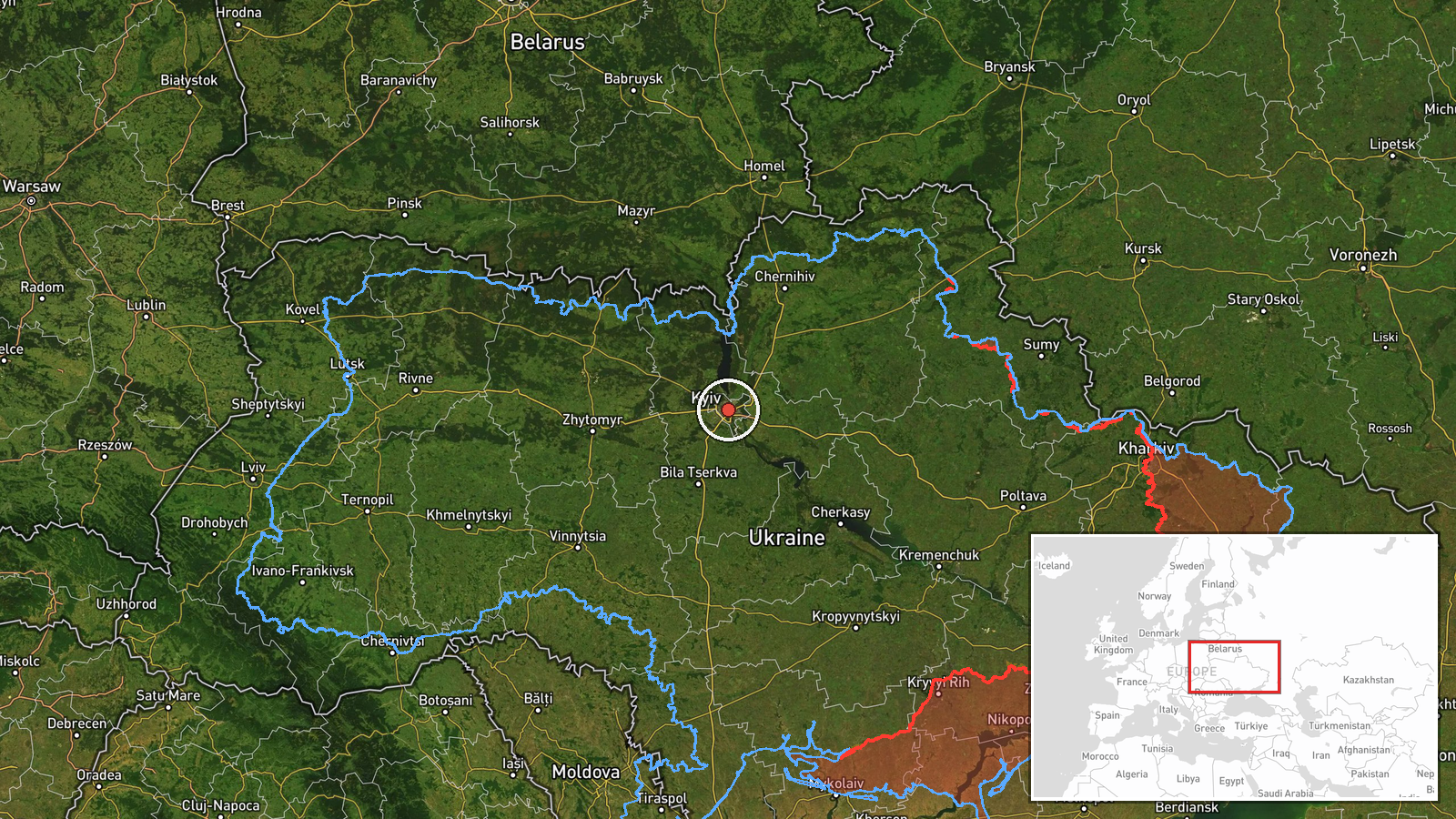
The location is recorded at region level, Kyiv Oblast, Ukraine. The coordinates, 50.45 N and 30.52 E, fall near central Kyiv, so they reflect a general reference point rather than a position on the drone's track. The named settlements, Obukhiv and Vasylkiv, lie southwest of the capital and were not resolved as separate geocodes, so the approximate location confidence is low. Kyiv Oblast is largely flat to gently rolling, with farmland, forest belts, and reservoirs. The Dnipro River and its lowlands lie to the east of the city, while the Irpin and Stugna rivers cross the northwestern and southern approaches.
Related events nearby
- Ukrainian air monitoring: 2+ Russian jet-powered Shahed (Geran-3) drones passing Liubech, heading toward Kyiv 2026-10-18 02:05 UTC · Drone Transit · Kyiv Oblast, Ukraine
- Ukrainian air monitoring: 1 Russian jet-powered Shahed (Geran-3) drone from Cherkasy Oblast toward Kyiv Oblast2026-10-17 15:51 UTC · Drone Transit · Kyiv Oblast, Ukraine
- Ukrainian air monitoring: 2+ Russian jet-powered Shahed (Geran-3) drones from northern Chernihiv Oblast toward2026-10-17 09:45 UTC · Drone Transit · Kyiv Oblast, Ukraine
- Ukrainian air monitoring: 1 Russian Shahed-type drone from Belarus toward Kyiv Oblast.2026-10-17 06:39 UTC · Drone Transit · Kyiv Oblast, Ukraine
- Ukrainian air monitoring: 1 Russian Shahed-type drone heading toward Kyiv; 1 Russian jet-powered Shahed (Geran2026-10-17 04:07 UTC · Drone Transit · Kyiv, Ukraine
▶ View this event on the live map

Intel Mapper aggregates open-source reports from monitored Telegram and X channels, geolocates them, cross-checks duplicates across sources and assigns a confidence score. Entries are updated as new confirmations arrive. Read how we verify events.