Ukrainian air monitoring reports one Geran-3 jet drone north of Pryluky, heading northwest
What happened
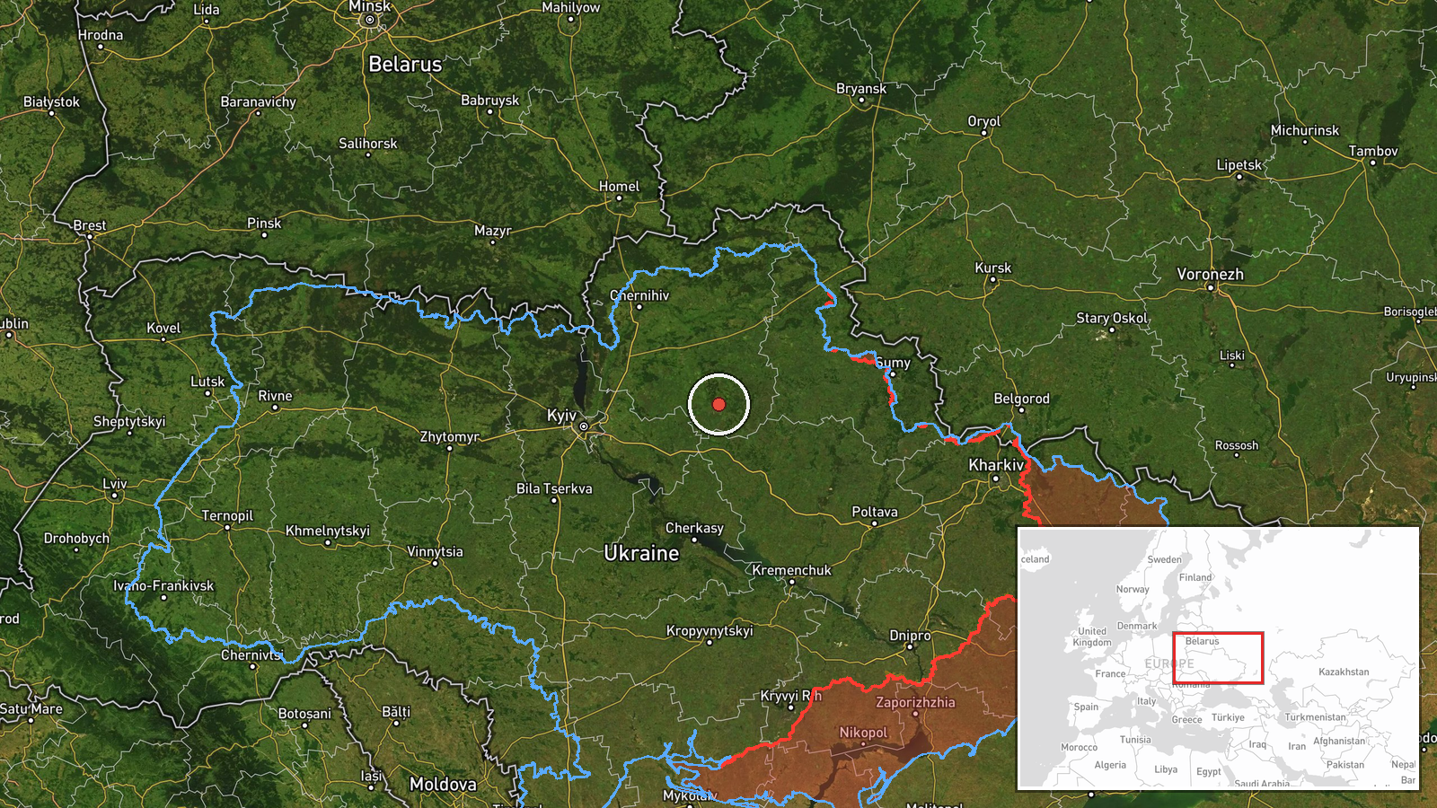
Ukrainian air monitoring, relayed through the Telegram channel @kpszsu, reported one Russian jet-powered Shahed (Geran-3) drone tracked north of Pryluky in Chernihiv Oblast at about 02:43 UTC on 19 October 2026, moving on a northwest heading. The original Ukrainian-language post describes a reactive UAV on a northwest course. The event is logged as a drone transit, not a confirmed strike, and the data reports no impact, damage or casualties. The report comes from a single channel, and its location is a regional point rather than a specific site. In the same minutes, several other air-monitoring alerts described Shahed-type drones moving through Poltava and Chernihiv oblasts.
Context and assessment
Pryluky was the focus of missile alerts the evening before. At 19:19 UTC on 18 October, one Russian Banderol mini cruise missile was reported passing Romny toward Pryluky, and at 19:34 UTC two were reported over Pryluky itself. In the early hours of 19 October, Shahed-type drones were logged from northern Poltava Oblast toward Pyryatyn, from Chernihiv Oblast toward Ichnia, and across southern Chernihiv Oblast heading west. Taken together, the sequence suggests sustained air activity over the Chernihiv and Poltava border belt, with missiles followed by drones. Operationally, transit tracks like this can indicate an attack corridor, or they can be used to stretch air defence across several directions. A northwest heading may point toward targets further west, but the data does not identify an intended target. A transit report reflects a flight path and does not establish aim. The Geran-3 jet variant is generally described as faster than piston-engine Shahed models, which is why its tracks are reported separately. Assessments should stay provisional, since single-observer tracks are often revised as later reporting arrives.
Sources and confidence
The only source is the Telegram channel @kpszsu, which is associated with Ukraine's Air Force and is a recognised conduit for national air alerts. That gives the report institutional weight, and the drone type and heading are stated specifically. No independent outlet, second monitoring channel or official follow-up is listed. The confidence score of 8.0 reflects the official-linked origin and the consistency of the report with surrounding alerts in the same minutes. It is held below the top of the scale because there is one source and no cross-confirmation. Confidence would rise with a second independent monitoring source, a reported impact or debris recovery, or a statement tying the track to a specific target. It would fall if the track were later revised or retracted.
Location
The location is approximate. The coordinates, 50.65 N and 32.39 E, mark a regional point north of Pryluky, not a settlement, facility or identified flight position, so the location confidence is rated low. Pryluky lies in the east-central part of Chernihiv Oblast, close to the border with Poltava Oblast. The area is northern Ukraine, with Russia and Belarus to the north. The terrain is largely flat to gently rolling, with farmland, forest belts and river valleys, including the Udy river in the Pryluky area.
Related events nearby
- Ukrainian air monitoring: 2 Russian Banderol mini cruise missiles over Pryluky.2026-10-18 19:34 UTC · Cruise Missile · Pryluky, Ukraine
- Ukrainian air monitoring: 1 Russian Banderol mini cruise missile passing Romny, heading toward Pryluky.2026-10-18 19:19 UTC · Cruise Missile · Pryluky, Ukraine
- Ukrainian air monitoring: 1 Russian jet-powered Shahed (Geran-3) drone from Chernihiv Oblast toward Ichnia.2026-10-19 02:42 UTC · Drone Transit · Ichnia, Ukraine
- Ukrainian air monitoring: 1 Russian Shahed-type drone from northern Poltava Oblast toward Pyryatyn.2026-10-19 02:41 UTC · Drone Transit · Pyryatyn, Ukraine
- Ukrainian air monitoring: 1 Russian Shahed-type drone passing southern Chernihiv Oblast, heading west; 1 Russi2026-10-19 02:43 UTC · Drone Transit · southern Chernihiv Oblast, Ukraine
▶ View this event on the live map

Intel Mapper aggregates open-source reports from monitored Telegram and X channels, geolocates them, cross-checks duplicates across sources and assigns a confidence score. Entries are updated as new confirmations arrive. Read how we verify events.