Ukrainian air monitoring reports one Russian Geran-3 jet drone transiting Vinnytsia Oblast northwest
What happened
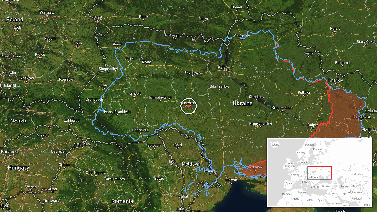
Ukraine's Air Force monitoring channel on Telegram (@kpszsu) reported a single Russian jet-powered Shahed, designated Geran-3, passing near Teplyk in Vinnytsia Oblast on 20 October 2026, with the post timestamped 01:14 UTC. The original Ukrainian-language notice describes the drone as moving in a northwestern direction. The wording is a transit alert rather than a report of impact, damage, or casualties. The event sits within a sequence of overnight drone transit alerts logged across Vinnytsia Oblast beginning the previous evening, several of which were described as originating in Odesa and Kirovohrad oblasts. The source text does not describe any strike or interception.
Context and assessment
Vinnytsia Oblast lies in west-central Ukraine, and its road, rail, and river corridors make it a recurring crossing zone for long-range drones moving between the south and east of the country and targets further west and north. The Geran-3 is a jet-powered variant of the Shahed design, generally faster and harder to intercept than the older piston-engine models, so repeated alerts for this type indicate active use of the corridor. The related reports show a steady pattern on 19 and 20 October: single and multiple drones from Odesa and Kirovohrad oblasts moving toward Vinnytsia between 17:50 and 23:35, followed by a 01:20 alert describing a drone heading north and a 01:23 alert placing one near Illintsi and moving toward Vinnytsia city. Operationally, the shifting headings could reflect routing toward targets in neighboring northern or western oblasts, or a drone changing course in response to air defense activity. Such an interpretation remains uncertain, since transit alerts track flight paths rather than intended targets.
Sources and confidence
The report rests on a single channel, the Ukrainian Air Force's official monitoring account on Telegram, which is typically the first public source for overnight drone tracking. No second outlet or regional authority in the data corroborates this specific track, and the trajectory and direction were not independently confirmed. The confidence score of 8.0 reflects an official origin and consistency with the surrounding alert sequence, but it is tempered by the single-source status and the lack of a location precise enough to map the drone itself. Confidence would rise with corroboration from regional military administrations, further monitoring updates confirming the northwestern track, or reports of a related impact. It would fall if later updates contradicted the heading or if the post were revised, though the record currently shows no correction.
Location
The location is geocoded at region level, with coordinates of 49.23 N and 28.47 E placed approximately at Teplyk in eastern Vinnytsia Oblast, not at the drone's actual position. The low location confidence reflects that transit alerts give only a general area. Teplyk is a small settlement in an agricultural landscape of farmland, woodland patches, and river valleys, and the surrounding oblast is largely rural. Nearby reference points in the alert sequence include Illintsi and Vinnytsia city.
Related events nearby
- Ukrainian air monitoring: 1 Russian Shahed-type drone passing Illintsi, heading toward Vinnytsia.2026-10-20 01:23 UTC · Drone Transit · Vinnytsia, Ukraine
- Ukrainian air monitoring: 1 Russian jet-powered Shahed (Geran-3) drone passing Vinnytsia Oblast, heading north2026-10-20 01:20 UTC · Drone Transit · Vinnytsia Oblast, Ukraine
- Ukrainian air monitoring: 2+ Russian jet-powered Shahed (Geran-3) drones from Kirovohrad Oblast toward Vinnyts2026-10-19 23:35 UTC · Drone Transit · Vinnytsia Oblast, Ukraine
- Ukrainian air monitoring: 2+ Russian jet-powered Shahed (Geran-3) drones from northern Odesa Oblast toward Vin2026-10-19 23:06 UTC · Drone Transit · Vinnytsia Oblast, Ukraine
- Ukrainian air monitoring: 1 Russian jet-powered Shahed (Geran-3) drone from Odesa Oblast toward Vinnytsia Obla2026-10-19 17:50 UTC · Drone Transit · Vinnytsia Oblast, Ukraine
▶ View this event on the live map

Intel Mapper aggregates open-source reports from monitored Telegram and X channels, geolocates them, cross-checks duplicates across sources and assigns a confidence score. Entries are updated as new confirmations arrive. Read how we verify events.