Air force reports one jet-powered Geran-3 drone transiting Vinnytsia Oblast heading north
What happened
Ukraine's air monitoring channel on Telegram, @kpszsu, reported at 01:20 UTC on 20 October 2026 that one Russian jet-powered Shahed, identified in the post as a Geran-3, was passing near Dashiv in Vinnytsia Oblast and moving in a northern direction. The original post is brief and uses the Ukrainian term for a jet-powered unmanned aerial vehicle. It does not report impacts, casualties, or damage, and it names no launch site or intended target. The event is recorded as a drone transit rather than a strike. The attribution to Russia follows the standard framing of Ukrainian air force notices for Shahed-type launches.
Context and assessment
Vinnytsia Oblast lies in west-central Ukraine, well north of the southern front and the Black Sea coast, so drones crossing it are typically in transit toward other areas rather than approaching a front-line objective. The related events from the preceding hours show a sustained stream. Beginning at 17:50 UTC on 19 October, single and multiple Geran-3 drones were reported moving from Odesa Oblast and Kirovohrad Oblast toward Vinnytsia Oblast. At 01:14 a single jet-powered drone was reported passing the oblast heading northwest, and at 01:23 another was reported passing Illintsi toward Vinnytsia city. Taken together, this suggests a recurring overnight route through the oblast, with drones entering from the south and east and dispersing northward and northwestward. The data does not reveal the intended targets. Such patterns are often associated with routing, distraction, or long-range pressure, but the available reporting cannot confirm any of these purposes.
Sources and confidence
This event rests on a single Telegram channel, @kpszsu, which is the official Ukrainian Air Force feed. Cross-confirmation is limited because no independent outlet, regional administration, or second monitoring channel is listed for this specific report. The confidence score of 8.0 reflects a credible official source with a consistent reporting pattern, offset by single-source status, the absence of impact details, and the low geolocation precision. Confidence would rise with independent confirmation from radar tracks, a regional military administration, or local reports of drone sightings along the stated path. It would fall if the channel corrected or withdrew the post, or if later reporting placed the drone elsewhere.
Location
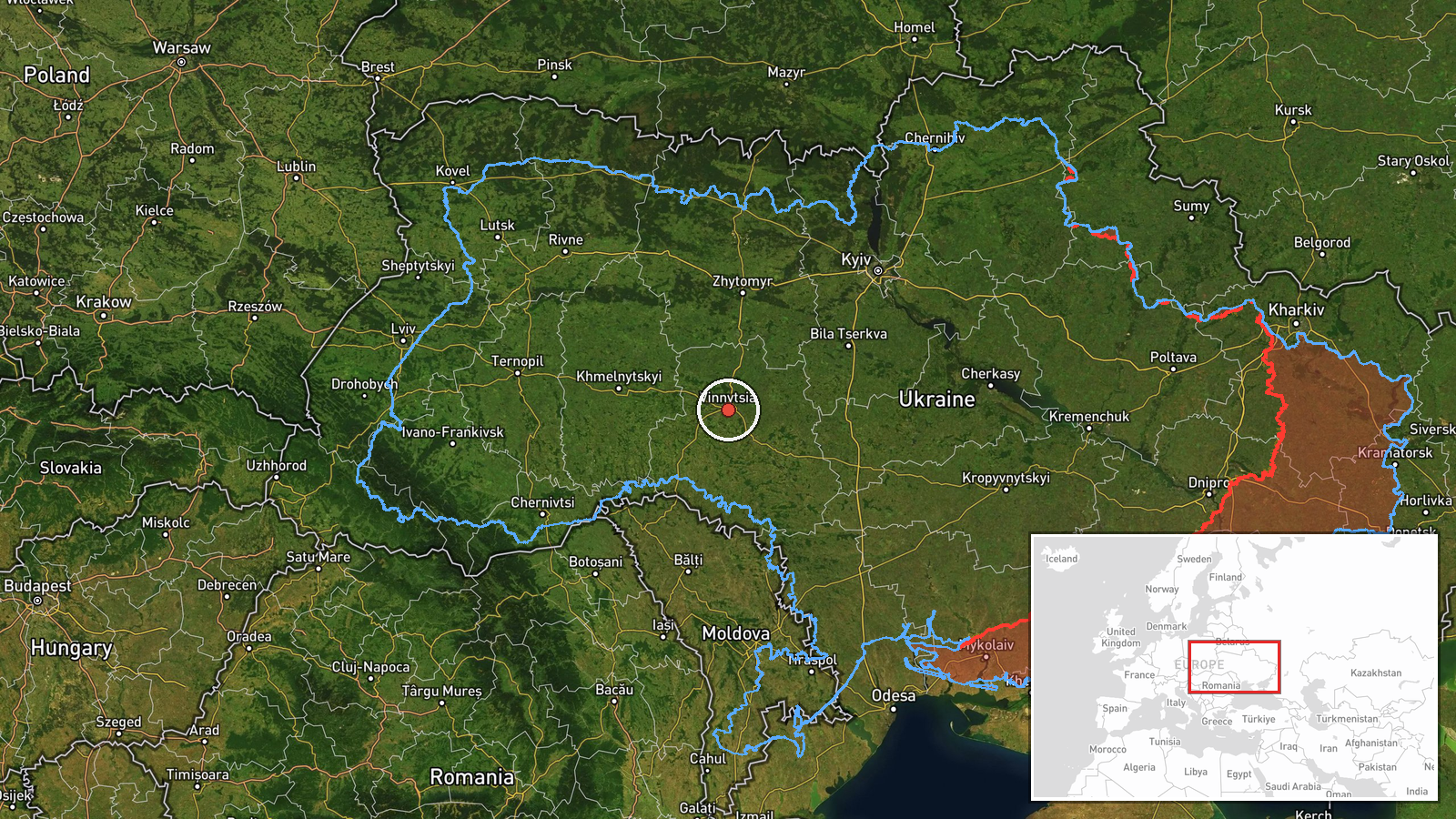
The location is approximate. The coordinates 49.23 N, 28.47 E are assigned at region level, so the pin reflects Vinnytsia Oblast as a whole rather than Dashiv itself, which is a small settlement named in the original post. Location confidence is recorded as low. The oblast is an agricultural and forested region on the Southern Bug and its tributaries, with rolling Podolian terrain, and its largely rural landscape means drone transits there may be tracked over open countryside rather than dense urban areas.
Related events nearby
- Ukrainian air monitoring: 1 Russian Shahed-type drone passing Illintsi, heading toward Vinnytsia.2026-10-20 01:23 UTC · Drone Transit · Vinnytsia, Ukraine
- Ukrainian air monitoring: 1 Russian jet-powered Shahed (Geran-3) drone passing Vinnytsia Oblast, heading north2026-10-20 01:14 UTC · Drone Transit · Vinnytsia Oblast, Ukraine
- Ukrainian air monitoring: 2+ Russian jet-powered Shahed (Geran-3) drones from Kirovohrad Oblast toward Vinnyts2026-10-19 23:35 UTC · Drone Transit · Vinnytsia Oblast, Ukraine
- Ukrainian air monitoring: 2+ Russian jet-powered Shahed (Geran-3) drones from northern Odesa Oblast toward Vin2026-10-19 23:06 UTC · Drone Transit · Vinnytsia Oblast, Ukraine
- Ukrainian air monitoring: 1 Russian jet-powered Shahed (Geran-3) drone from Odesa Oblast toward Vinnytsia Obla2026-10-19 17:50 UTC · Drone Transit · Vinnytsia Oblast, Ukraine
▶ View this event on the live map

Intel Mapper aggregates open-source reports from monitored Telegram and X channels, geolocates them, cross-checks duplicates across sources and assigns a confidence score. Entries are updated as new confirmations arrive. Read how we verify events.