Ukrainian Air Force reports one jet-powered Shahed drone heading toward Chabany, Kyiv Oblast
What happened
Ukraine's Air Force monitoring channel on Telegram (@kpszsu) reported on 21 October 2026 at 05:38 UTC that a single jet-powered Shahed-type drone, described in the post as a Geran-3, was on a course toward Chabany in Kyiv Oblast. The original Ukrainian-language alert is brief, reading in translation as 'reactive UAV on course to Chabany' under a Kyiv region heading. It does not report impact, damage, casualties, or the drone's final track, and the event is logged as a drone transit rather than a strike. Attribution to Russia rests on the Geran series, which Russia uses against Ukraine, and not on any statement within the alert itself. At the time of recording, the report rests on this single channel.
Context and assessment
Chabany sits on the southern approaches to the Ukrainian capital, so an alert naming it is consistent with aircraft probing the Kyiv air-defence zone rather than a distant border area. The related events in this dataset show a pattern of single-drone transit alerts over roughly 24 hours. On 20 October, Chabany was named at 10:48 UTC, Zhuliany at 12:41, and Teremky, a district on the northwestern side of Kyiv, at 10:55 and 13:38. A further Teremky alert followed at 05:19 UTC on 21 October. The repetition across several districts around the city suggests that tracks are being monitored one aircraft at a time, which is common when individual drones are routed toward different points in the metropolitan area. Operationally, such patterns may point to reconnaissance, route testing, decoy use to draw interceptors, or efforts to stretch mobile fire groups. Jet-powered Geran-3 variants are faster and harder to intercept than propeller-driven models, so each track may demand more reaction time. These readings are inferences from the alert timing and do not confirm intent.
Sources and confidence
All entries in this record cite one source, the official Telegram channel of Ukraine's Air Force monitoring service, so the report is single-channel and has no independent cross-confirmation. The confidence score of 8.0 reflects the channel's role as an official military alert, the specific timestamp, the consistent naming of the aircraft type, and its fit with the related alerts. It is held below the top of the scale because nothing corroborates the track or outcome. Confidence would rise with a second source such as Kyiv City or Kyiv Oblast military administration statements, reports of debris or impact, or a follow-up from the Air Force. It would fall if the alert were retracted, amended, or shown to refer to a different aircraft or route.
Location
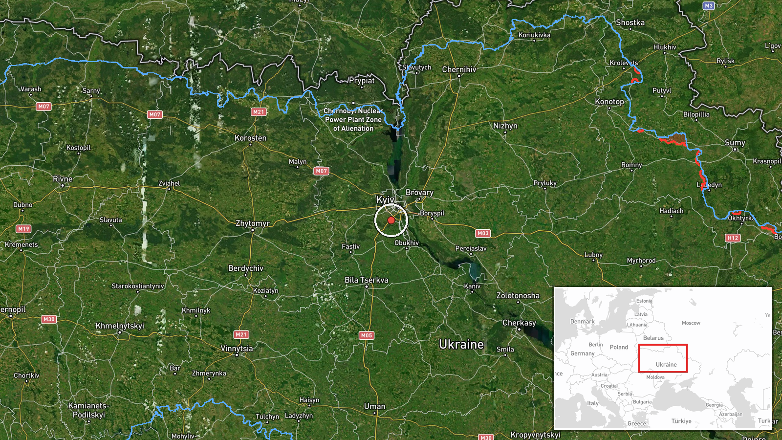
The location is recorded at settlement precision, and the coordinates (about 50.34 N, 30.43 E) match Chabany, a village in Kyiv Oblast roughly a dozen kilometres south of central Kyiv. The setting is suburban and rural, with farmland, small settlements, and wooded belts typical of the capital's outer ring. The area is part of the broader Kyiv region covered by the air alert system. The coordinates are placed at the settlement centre, not at a specific facility, so the alert should be read as referring to the wider locality rather than a precise target.
Related events nearby
- Ukrainian air monitoring: 1 Russian jet-powered Shahed (Geran-3) drone heading toward Chabany.2026-10-20 10:48 UTC · Drone Transit · Chabany, Ukraine
- Ukrainian air monitoring: 1 Russian jet-powered Shahed (Geran-3) drone heading toward Teremky, Kyiv.2026-10-21 05:19 UTC · Drone Transit · Teremky, Kyiv, Ukraine
- Ukrainian air monitoring: 1 Russian jet-powered Shahed (Geran-3) drone heading toward Teremky, Kyiv.2026-10-20 13:38 UTC · Drone Transit · Teremky, Kyiv, Ukraine
- Ukrainian air monitoring: 1 Russian jet-powered Shahed (Geran-3) drone heading toward Teremky, Kyiv.2026-10-20 10:55 UTC · Drone Transit · Teremky, Kyiv, Ukraine
- Ukrainian air monitoring: 1 Russian jet-powered Shahed (Geran-3) drone heading toward Zhuliany, Kyiv.2026-10-20 12:41 UTC · Drone Transit · Zhuliany, Kyiv, Ukraine
▶ View this event on the live map

Intel Mapper aggregates open-source reports from monitored Telegram and X channels, geolocates them, cross-checks duplicates across sources and assigns a confidence score. Entries are updated as new confirmations arrive. Read how we verify events.