Ukrainian monitors report 2+ Russian Geran-3 jet drones heading toward Sviatoshyn, Kyiv
What happened
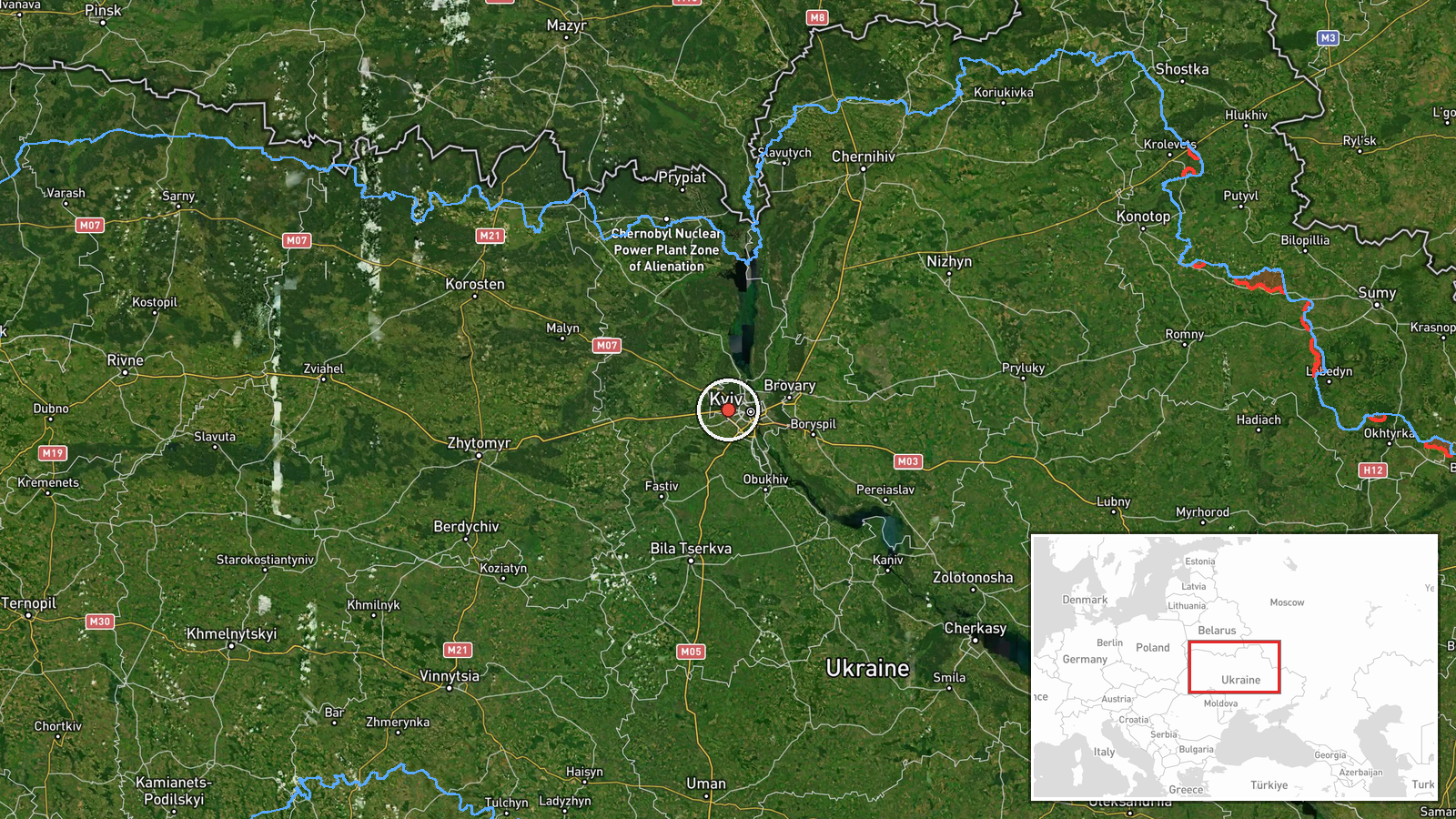
Ukrainian air monitoring channel @kpszsu reported on Telegram at about 05:34 UTC on 23 October 2026 that two or more Russian jet-powered Shahed (Geran-3) drones were heading toward Sviatoshyn, a district on the western side of Kyiv. The original post, written in Ukrainian, described jet drones headed for Sviatoshyn and Troieshchyna. The wording refers to drones in transit rather than confirmed impacts, and the post does not report damage, casualties, or interceptions. The report is a single-channel warning and has not been confirmed by other outlets in the dataset. It forms part of a sequence of drone transit alerts over Kyiv and Kyiv Oblast that morning.
Context and assessment
Sviatoshyn sits on the western edge of Kyiv city, close to the Zhytomyr highway corridor and a dense residential belt, so it is a plausible target area for drones approaching the capital from the northwest. The alert fits a pattern visible in the related events. Between 00:18 and 03:14 UTC, monitors tracked Shahed-type drones moving from northern Chernihiv Oblast toward Kyiv Oblast, then passing Slavutych and approaching Kyiv, with repeated reports of two or more drones over the city. The sequence suggests a sustained approach along a northern axis rather than a single isolated launch. Geran-3 is the jet-powered variant of the Shahed design, generally faster and harder to intercept than earlier piston-engine models. Repeated transits over the capital may point to a saturation or harassment pattern, though the data alone cannot show intent or whether the drones were directed at this district specifically. Operational meaning remains uncertain without impact reporting.
Sources and confidence
The event rests on one Telegram channel, @kpszsu, which is the Ukrainian Air Force's official account and is generally treated as a primary source for air alerts. No second independent outlet in the dataset reports the Sviatoshyn warning, so cross-confirmation is absent. The confidence score of 8.0 reflects the official origin and consistency with the earlier drone transit reports over Kyiv that morning, offset by single-source status and the absence of impact or interception details. Confidence would rise with corroboration from additional monitoring channels, local officials, or visible impact reporting, and would fall if later updates contradicted the trajectory or the air alert was revised.
Location
The coordinates correspond to the Sviatoshyn settlement area within Kyiv city, placed at settlement-level precision with high location confidence. The source names Sviatoshyn directly, so the point is an approximate district center rather than a specific facility. Sviatoshyn lies on the western side of the capital, near the Zhytomyr highway and the Kyiv-Sviatoshyn forest and green belt, with extensive residential blocks to the east and open ground toward the Irpin river valley beyond the city's edge.
Related events nearby
- Ukrainian air monitoring: 2+ Russian jet-powered Shahed (Geran-3) drones over Kyiv.2026-10-23 03:14 UTC · Drone Transit · Kyiv, Ukraine
- Ukrainian air monitoring: 2+ Russian jet-powered Shahed (Geran-3) drones passing Slavutych, heading toward Kyi2026-10-23 03:00 UTC · Drone Transit · Kyiv Oblast, Ukraine
- Ukrainian air monitoring: 2+ Russian jet-powered Shahed (Geran-3) drones over Kyiv.2026-10-23 01:04 UTC · Drone Transit · Kyiv, Ukraine
- Ukrainian air monitoring: 1 Russian Shahed-type drone heading toward Kyiv.2026-10-23 00:19 UTC · Drone Transit · Kyiv, Ukraine
- Ukrainian air monitoring: 2+ Russian Shahed-type drones from northern Chernihiv Oblast toward Kyiv Oblast.2026-10-23 00:18 UTC · Drone Transit · Kyiv Oblast, Ukraine
▶ View this event on the live map

Intel Mapper aggregates open-source reports from monitored Telegram and X channels, geolocates them, cross-checks duplicates across sources and assigns a confidence score. Entries are updated as new confirmations arrive. Read how we verify events.